Fort Alice and Oakland Town Trails
|
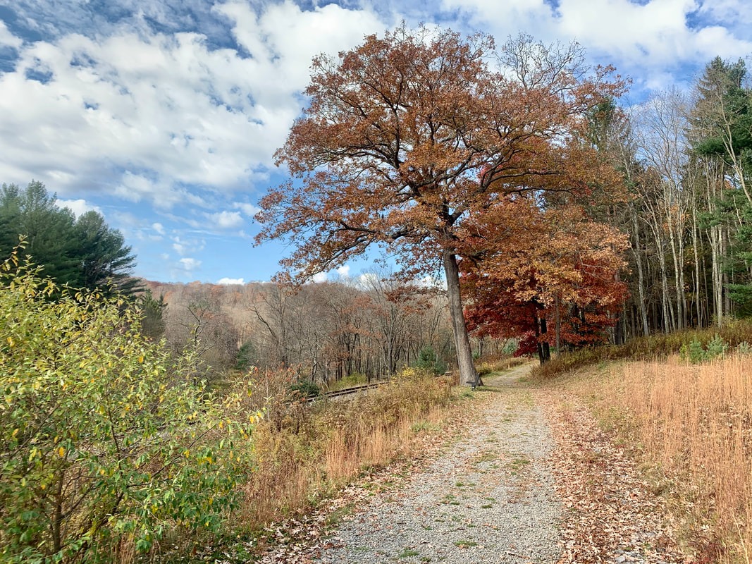
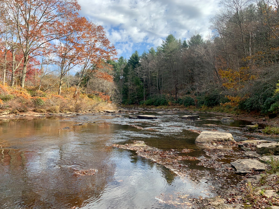
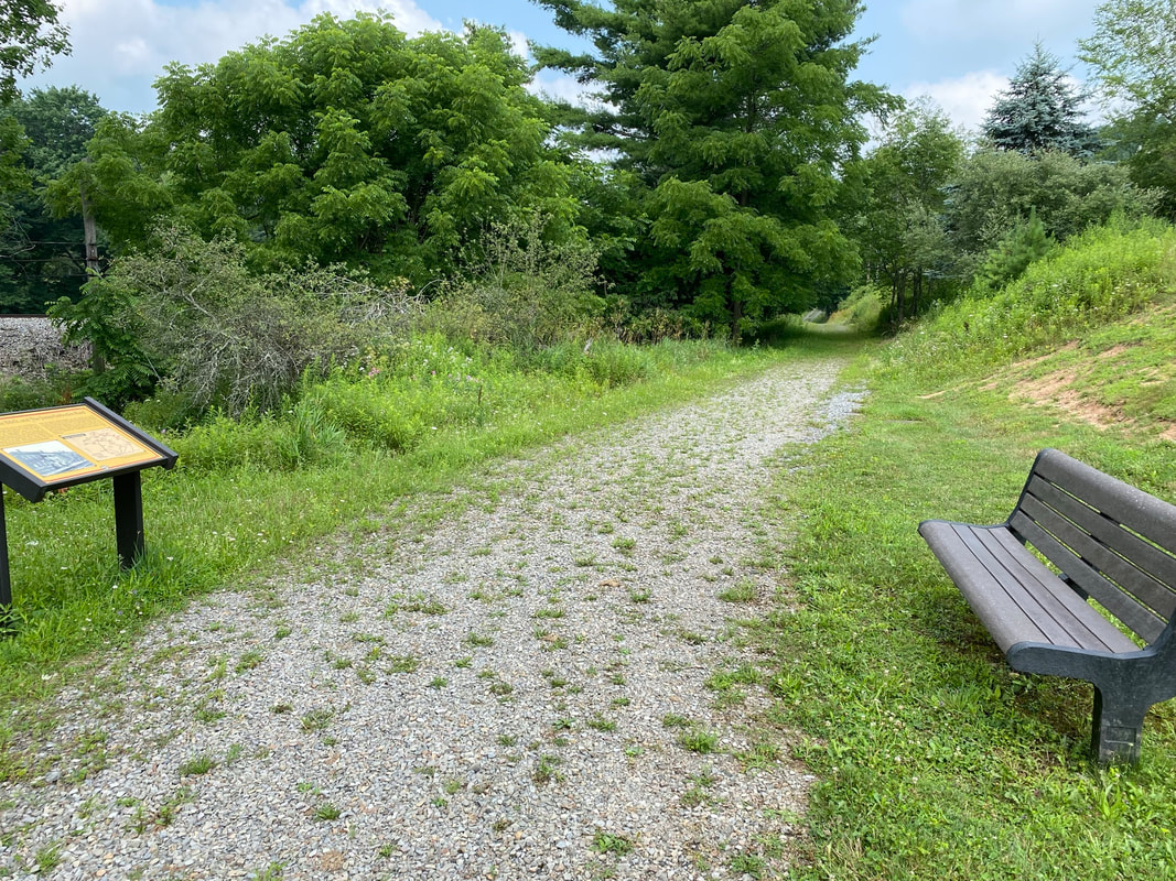
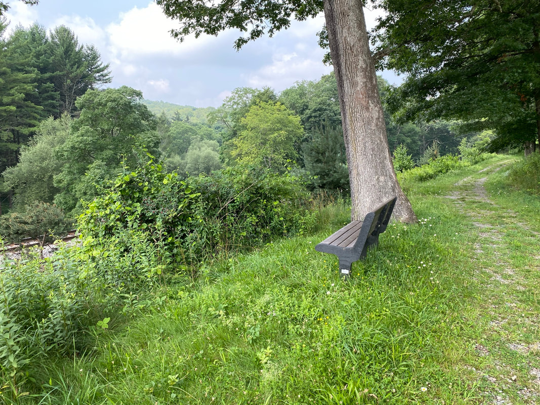
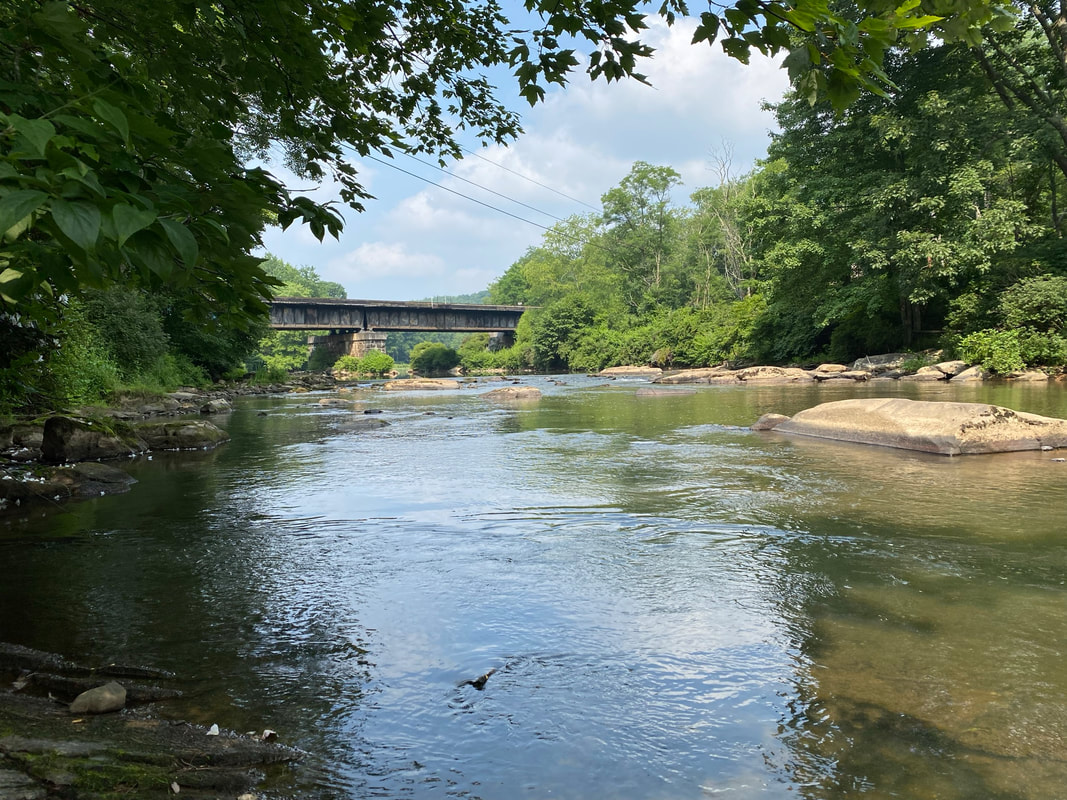
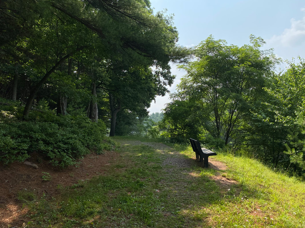
Description: Oakland’s fitness/walking trail includes a 1 mile loop that can be accessed at the Yough Glades development on Liberty Street. The trail follows part of the (Top) Youghiogheny River and connects to the Historic Oakland Train Station, the Pavilion and heads out Route 39.
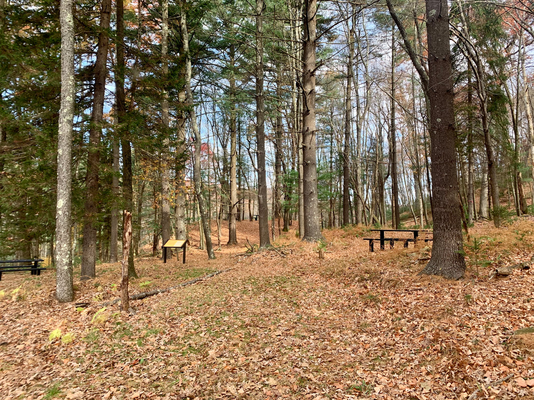
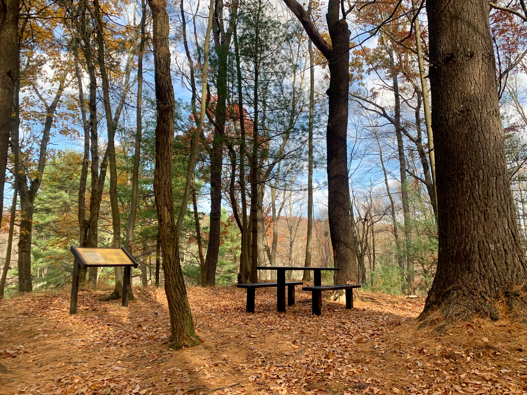
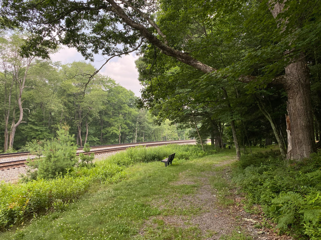
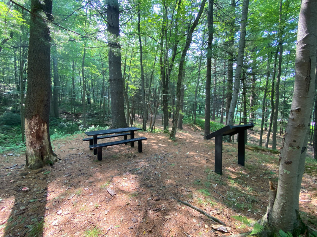
A spur at the northwest corner of this trail follows the old B&O railroad line (now CSX) west to the site of a Civil War era fort, aka Fort Alice. This was the site of a Union troop blockhouse built to house troops protecting the 88 Bridge of the B&O railroad where it crosses the Youghiogheny River. The blockhouse was over-run by Confederate troops in 1863, who burned the bridge and briefly occupied the nearby town of Oakland. Interpretive signs along the trail tell the story of this piece of local history. Use: Walking Difficulty: Easy Directions: 21 minutes, 13.9 miles from Visitors Center Drive; Turn right onto Rt 219 S 12.6 miles, turn right onto Liberty St 0.8 miles, turn right to park at the Glades Town Park. Directions to Town Parking Lot trailhead on Google Maps Directions to Fort Alice trailhead on Google Maps |
|