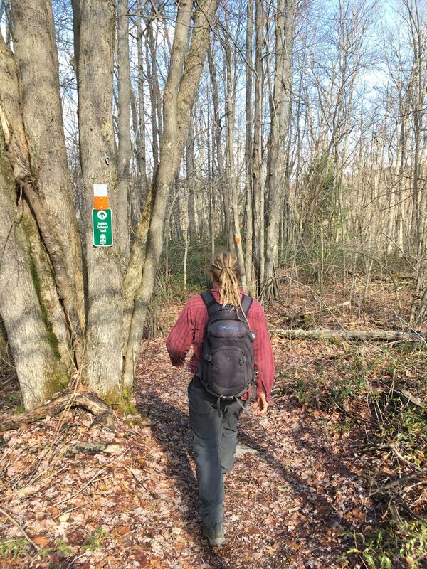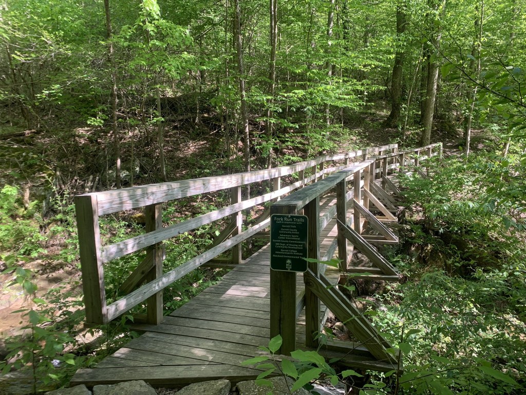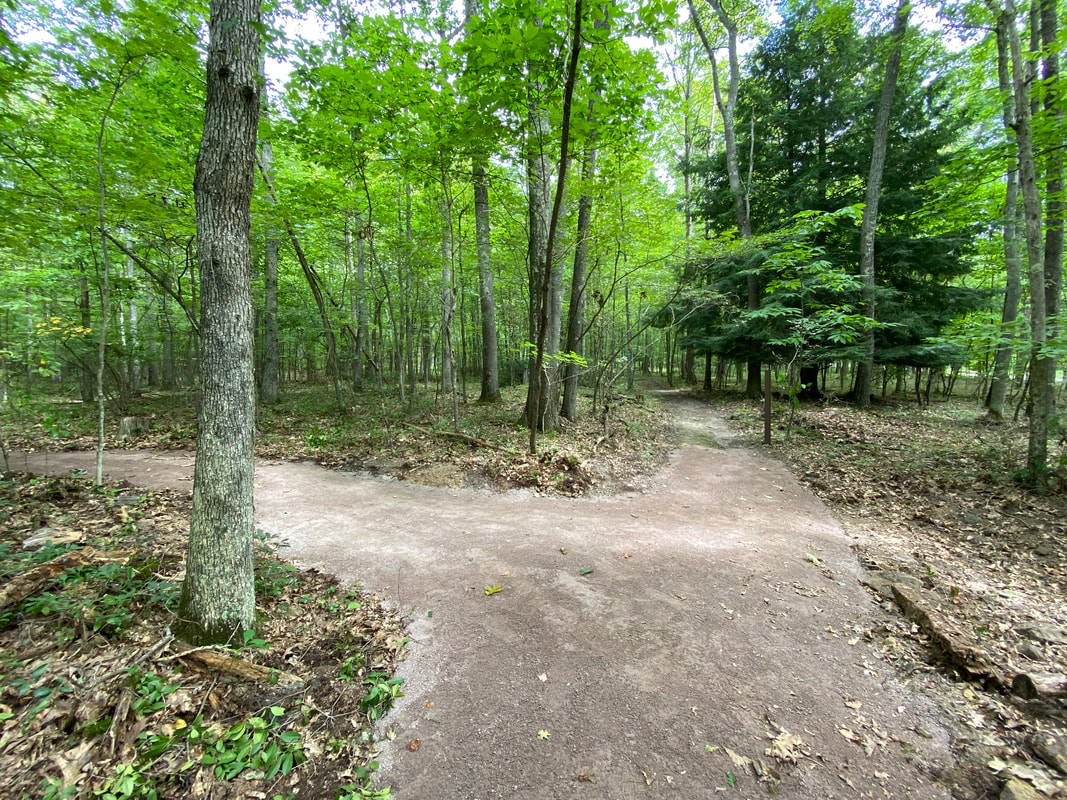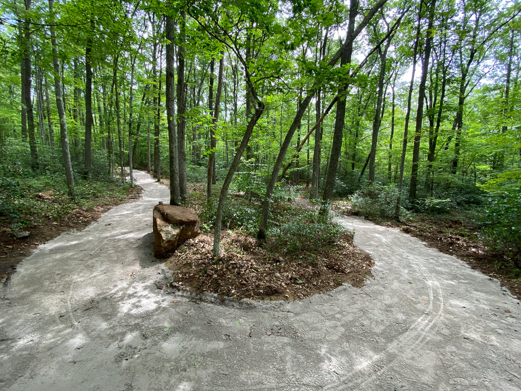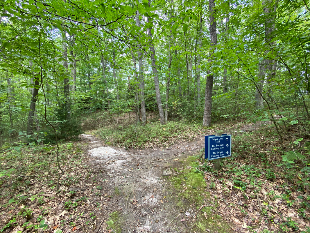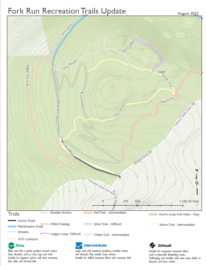
The new Acorn loop for beginner cyclists and trail users with limited mobility in the Fork Run Recreation Area is complete! Well done to the planners with the County Government, which commissioned and supervised the construction of the trail. We ask expert cyclists to moderate their speed while using the loop to access intermediate and expert trails deeper in the trail system. We have also secured funding for a new trail connecting the Beige trail to Adventure Way Road near Wisp Resort, and expect that trail to be completed by Spring 2024. Funding is also in place for new signage at both the Shingle Camp Road and the eventual Adventure Way Road trailhead.
|
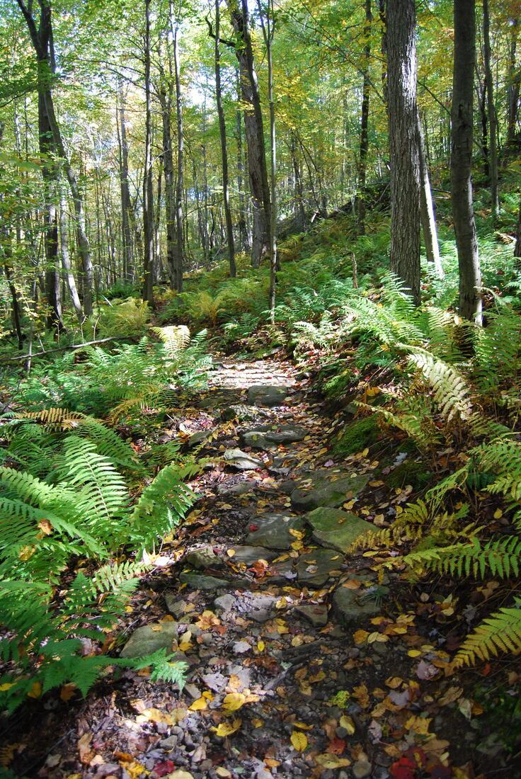
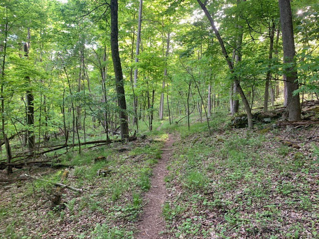
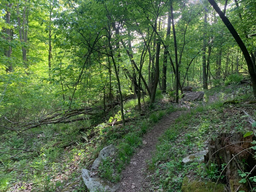
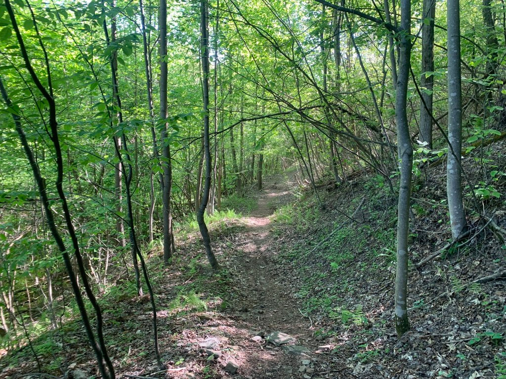
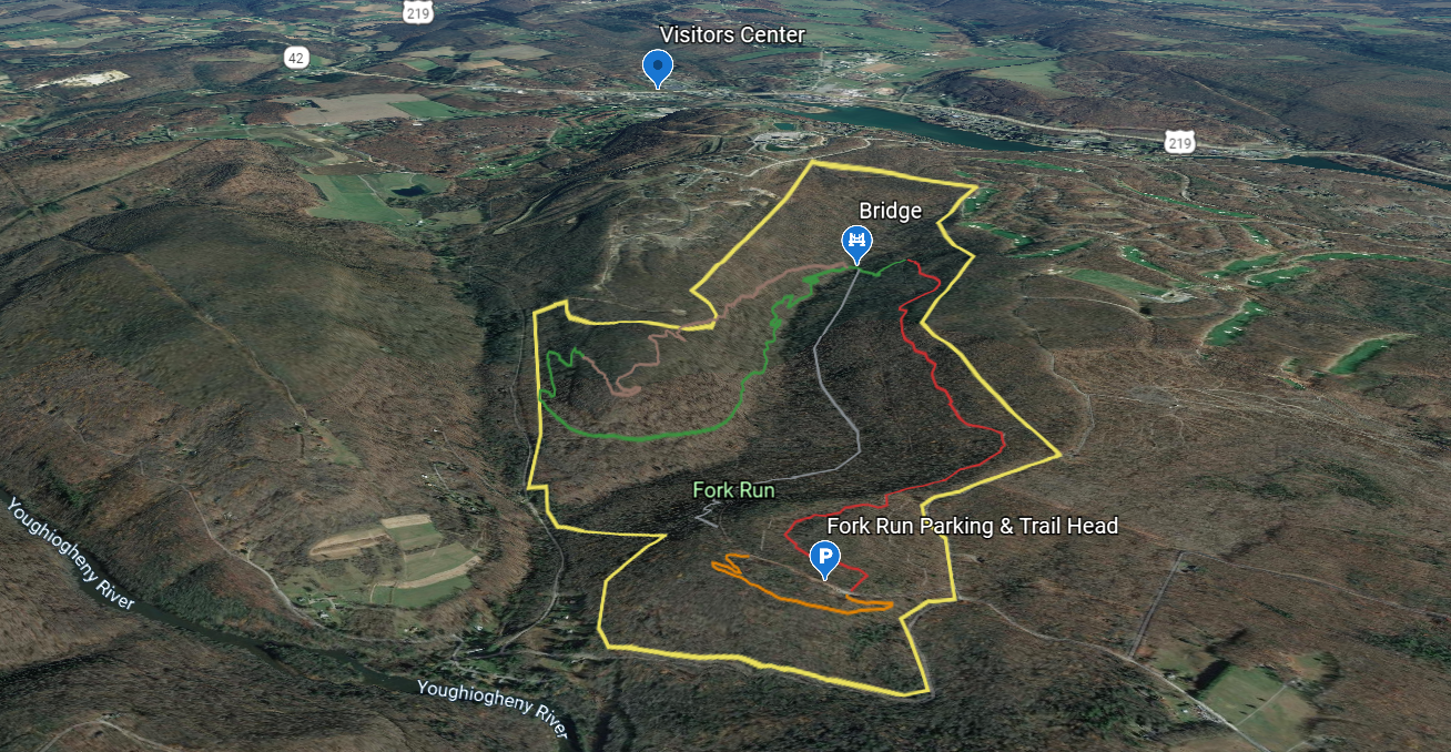
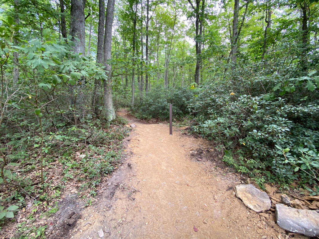
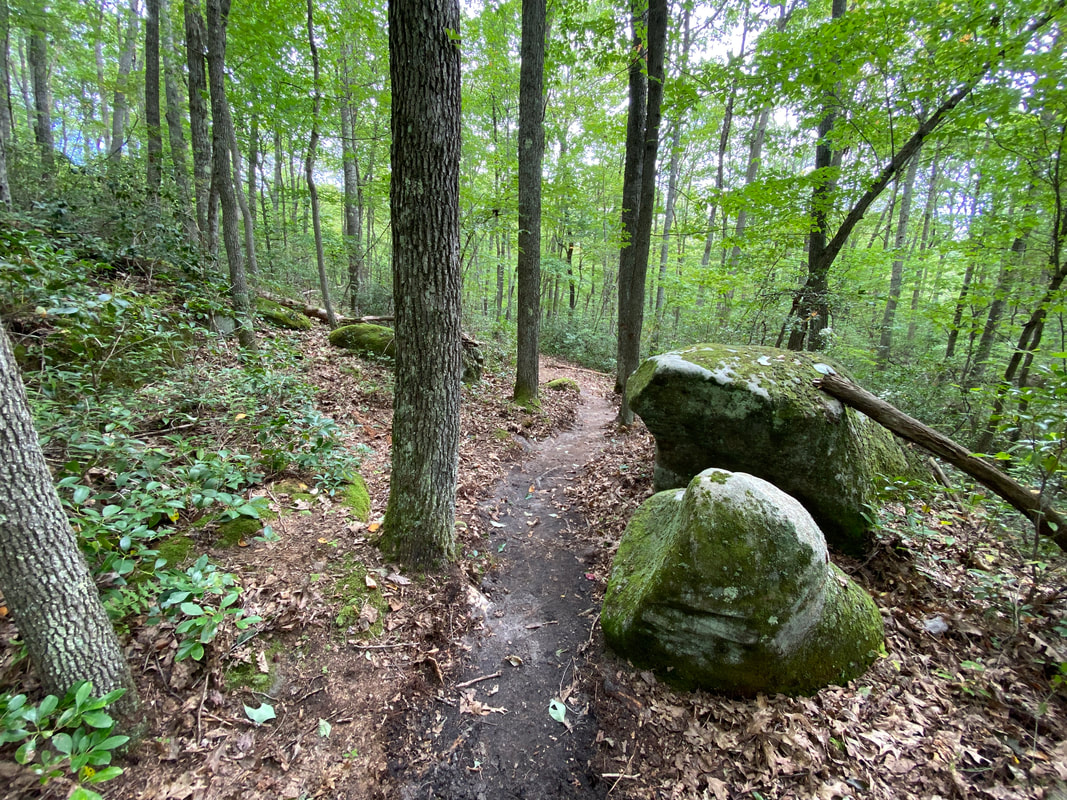
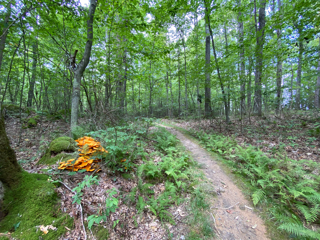
Description: Developed for hiking and mountain biking, Fork Run is owned by the Garrett County Board of Commissioners and part of the Maryland Environmental Trust. Garrett Trails is responsible for the development, construction and maintenance of the trail system. The Google Map below does not show the Silver Trail, which runs parallel to the gravel road and connects to the Green Trail. It is shown in the satellite image. If you continue to the Green Trail be prepared for steep but relatively short switchbacks to the top where it meets the Beige Trail. Many forms of wildlife call Fork Run home, often raising their young in this oasis among the development of the surrounding area. Be bear aware and do not ever approach or feed wild animals.
Red-1.75 mi Gray Trail-1.44 mi Green-2.3 mi Beige-1.4 mi Orange-.45 mi Acorn Loop- .65 mile Distances are approximate Use: Hiking and Biking. Pets on leash allowed. No fires, hunting, camping or overnight stays in the parking lot. A porta-potty is available a short distance down the gravel road behind the gate in the parking lot. Difficulty: Easy – Difficult Directions: 12 minutes, 5.1 miles from Visitor Center Drive; right onto Deep Creek Drive 0.1 mile, left onto Sang Run Rd 0.1 mile, left onto Marsh Hill Rd 1.1 miles, right onto Overlook Pass 0.7 mile, left onto Wisp Mountain Rd 0.7 mile, right onto Shingle Camp Rd 2.2 miles, right into the parking area. Get directions to trail head on Google Maps Resource Links: |


|