|
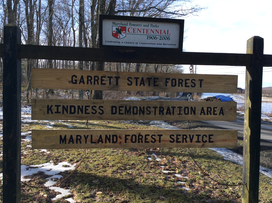
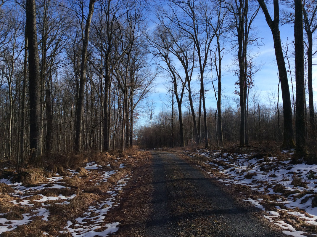
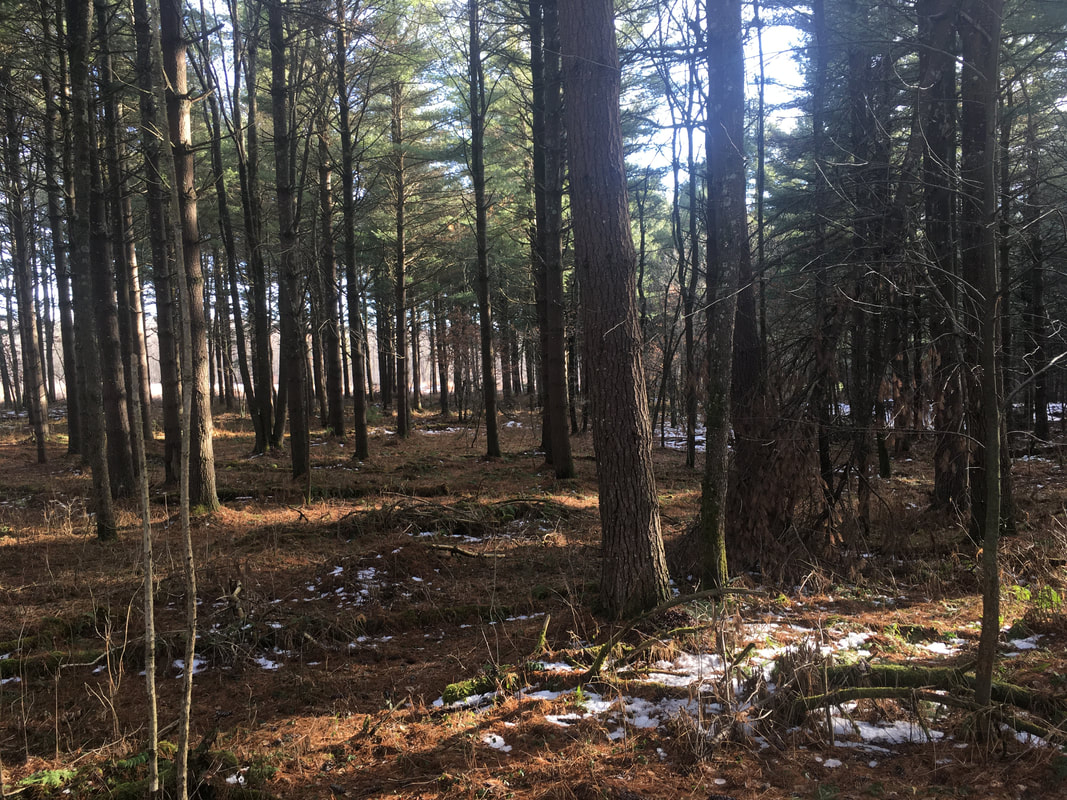
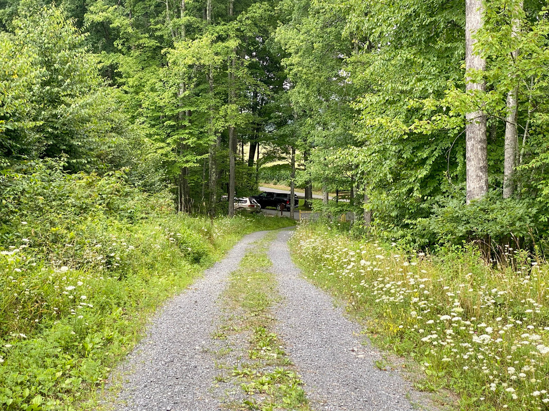
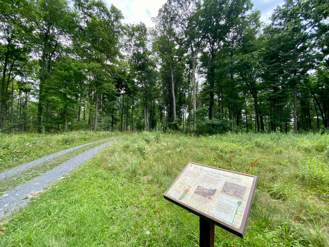
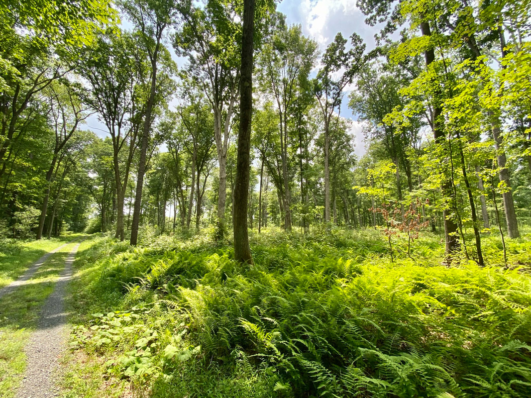
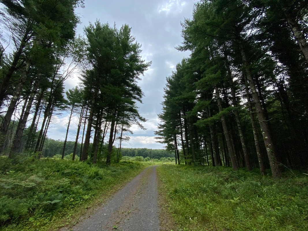
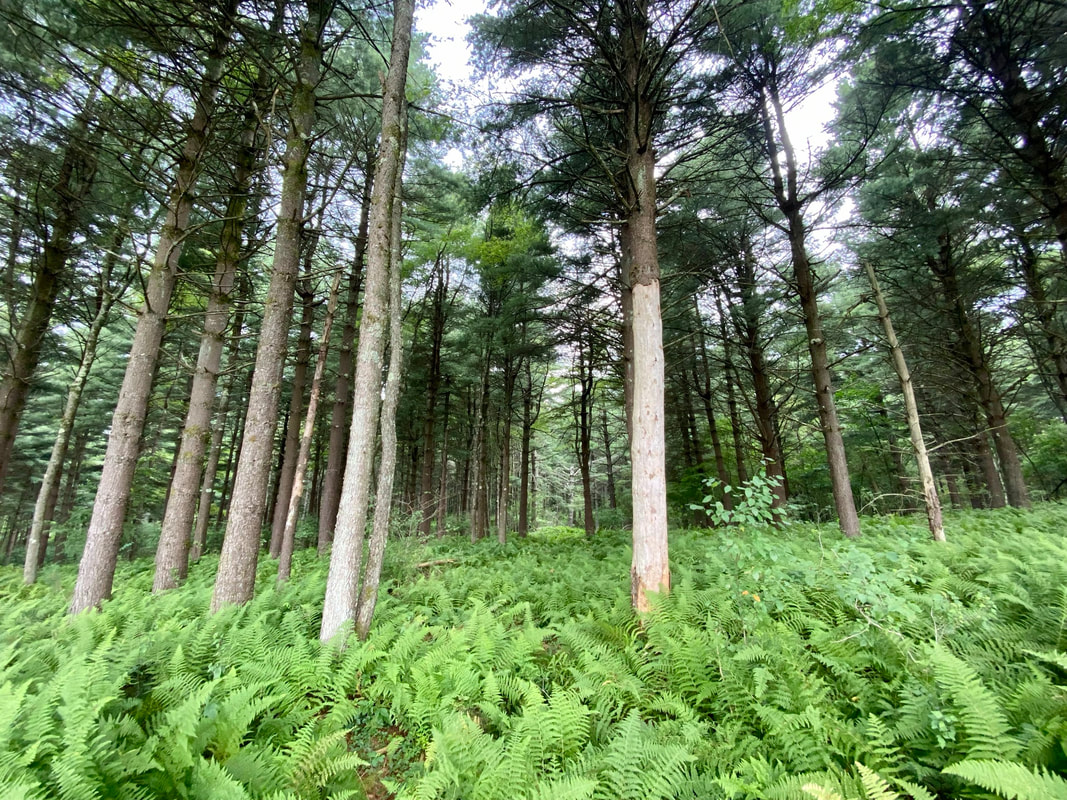
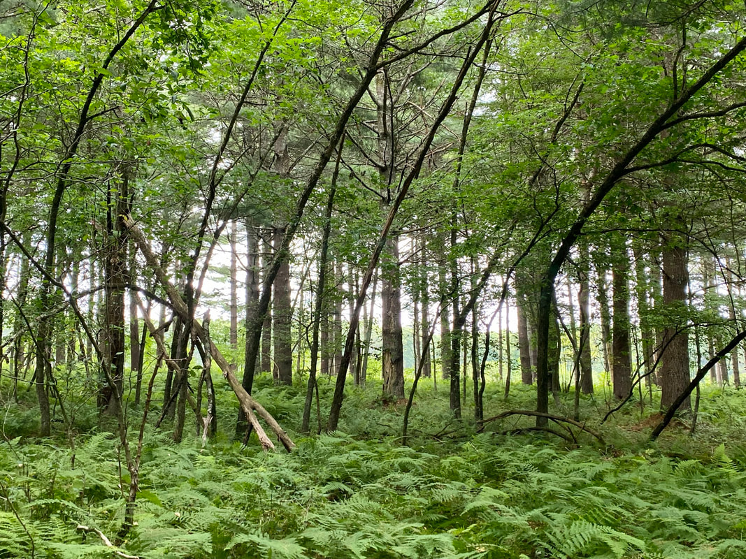
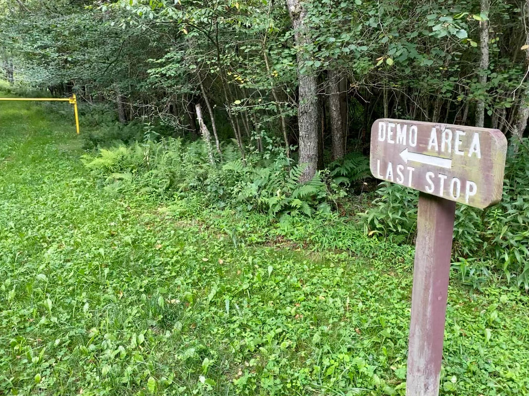
Description: This gently rolling trail is on an old logging road through the heart of the first parcel of the Maryland State Forest system. Donated by the Garrett brothers in 1906 the land carried the military plot name “Kindness Tract”. This 1.25 trail (one way) features interpretive signage on forest management practices as it traverses several different types of timber plots.
Use: Walking, Hiking, Mountain Biking, XC Skiing Difficulty: Easy Directions: 27 minutes, 17.1 miles From Visitors Center Drive; Turn Right onto US 219 12.6 miles, Turn Right onto Green Street 390 feet, Continue on East Liberty Street 1.6 miles, Turn Left onto Fingerboard Road 2.8 miles, Destination on Left. Get directions to trailhead on Google Maps Resources: |
|

© Garrett Trails. All rights reserved.