
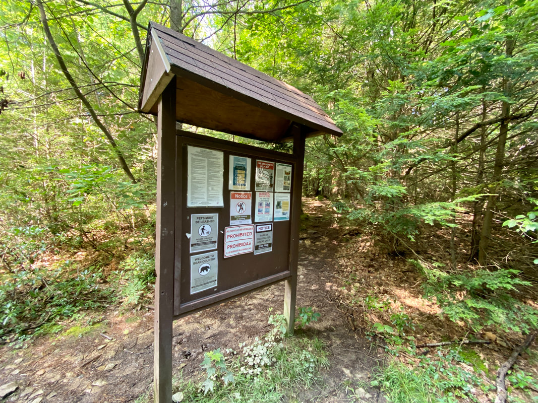
Trail Inventory
This list is not yet comprehensive and we will continue to add new trails to it. If you have a trail you would like to see on the list reach out and we will get to work!
Town Trails
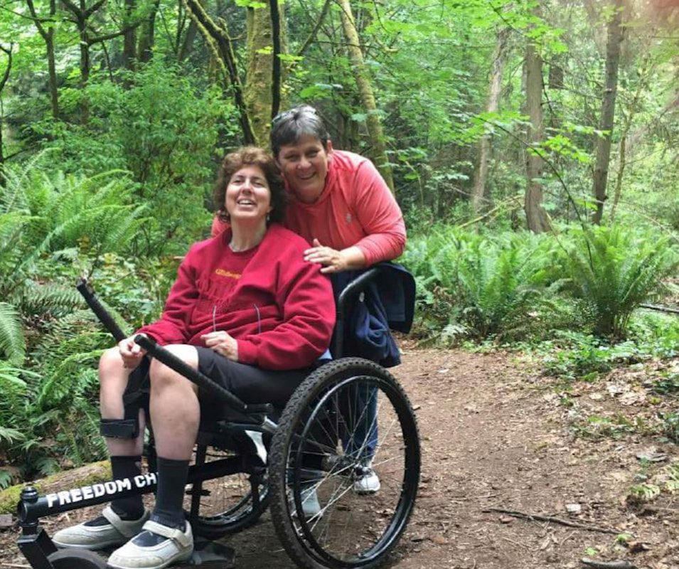
Great for low crowds, quick workouts and people with mobility restrictions. There are often paved paths and playground equipment nearby.
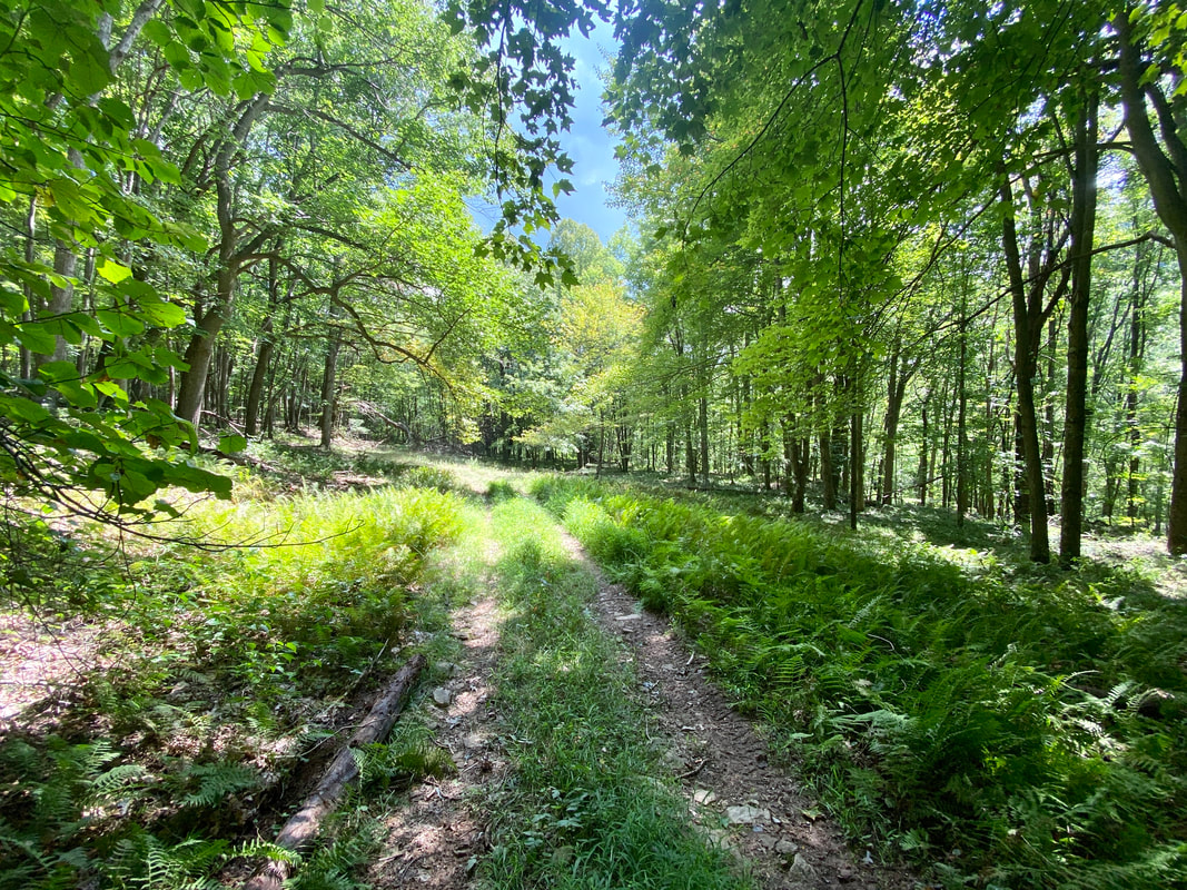
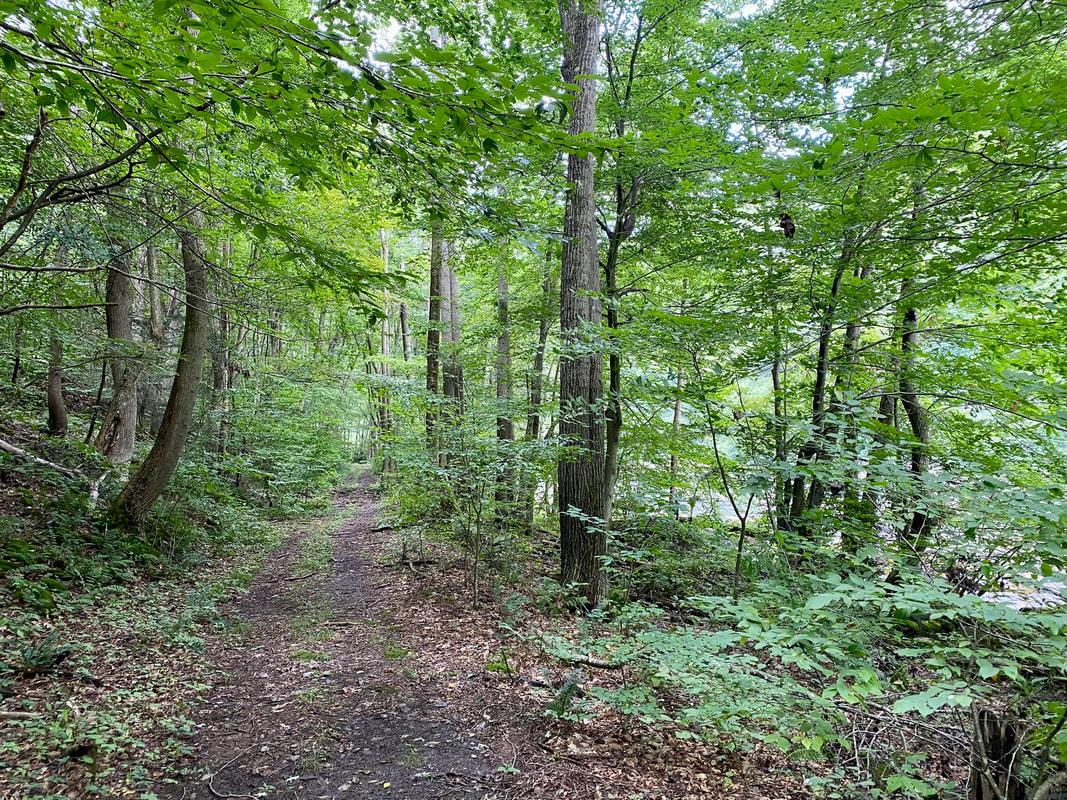
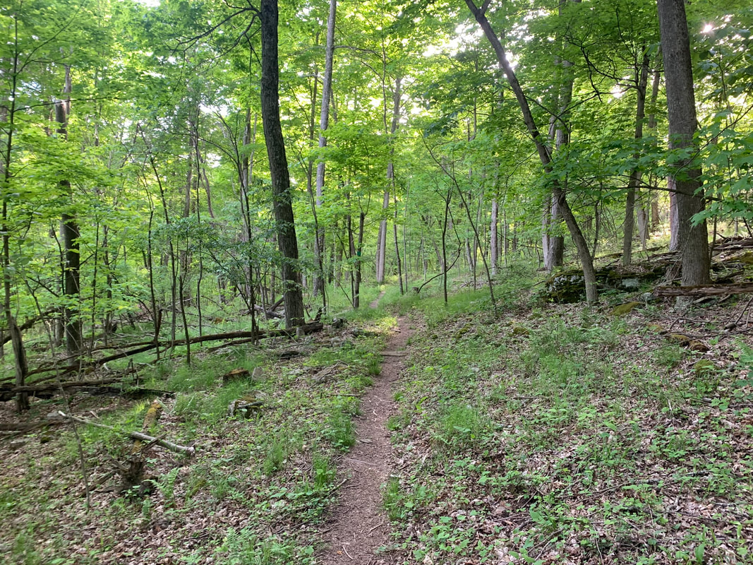
Easy Walking Forest Trails
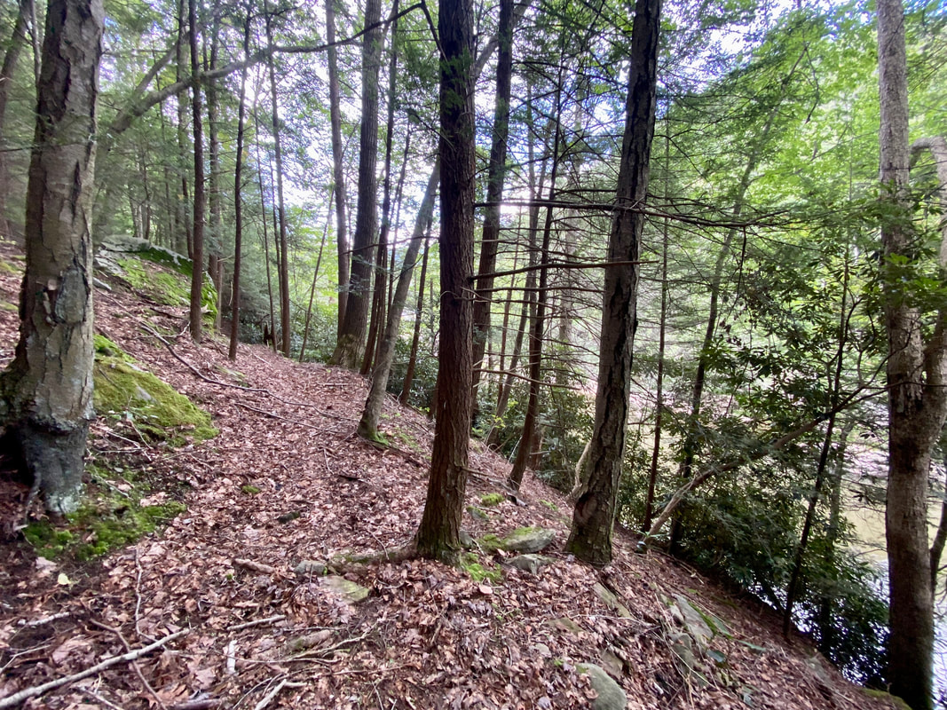
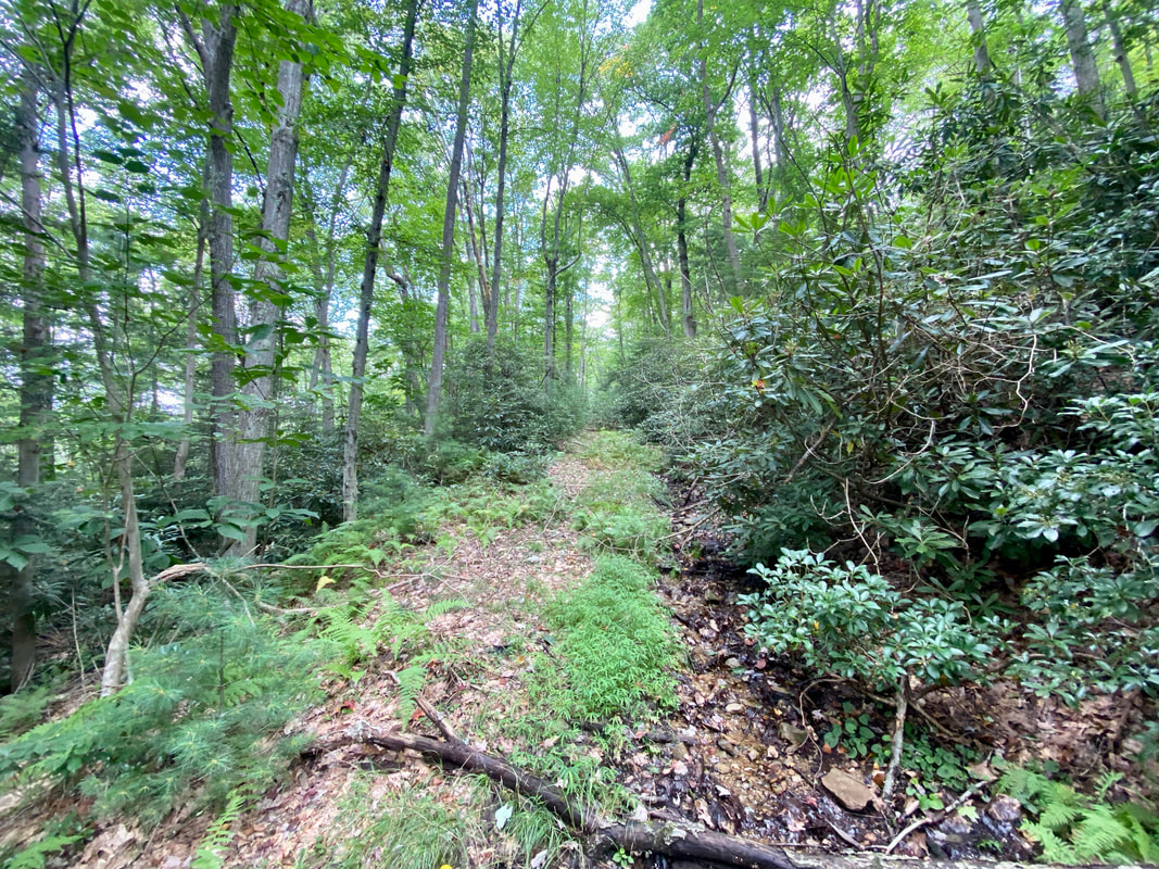
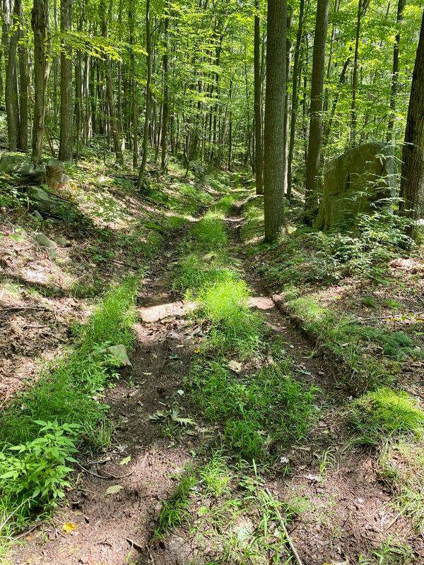
More rugged than a town trail, less rugged than a backcountry trail, these are perfect for families or individuals that can go off pavement, but cannot commit to large elevation changes.
Fishing and Boating trails
Local trails used by people fishing and boaters. Typically not very difficult and often offering excellent views of our rivers and lakes, but you should always be aware of slippery terrain next to water features. We have several more to add in the near future!
- Swallow Falls Down River Fishing Trail
- Hoyes Run Fishing Trail and Boat Launch
- Mill Run Recreation Area
Garrett County Board of Commissioners Trails
Single track mountain biking and hiking near the ski area, great for intermediate to expert bikers and hikers looking for 3+ mile loops with elevation changes and switchbacks. Beginner hikers and bikers can explore short loops near the parking lot before committing to the longer Red and Gray trails.
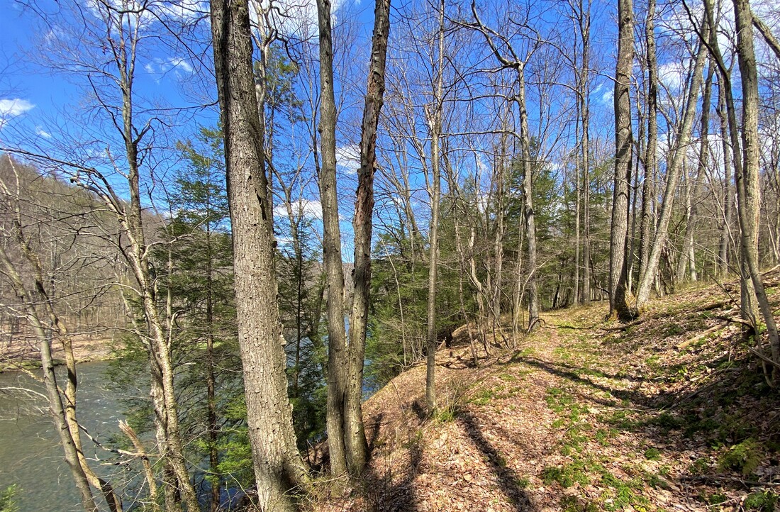
Jennings Randolph Reservoir Trails
A remote and beautiful part of Garrett County, excellent for watching for birds of prey, meadow songbirds, deer and many other kinds of wildlife that live near the undeveloped reservoir and North Branch of the Potomac River. The trail provides access to fishing on the North Branch.
- The Honorable Paul Sarbanes Trail
STATE PARK TRAILS
Established facilities, on site staffing and often ADA access to certain locations.
Potomac-Garrett State Forest Trails
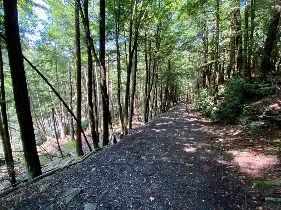
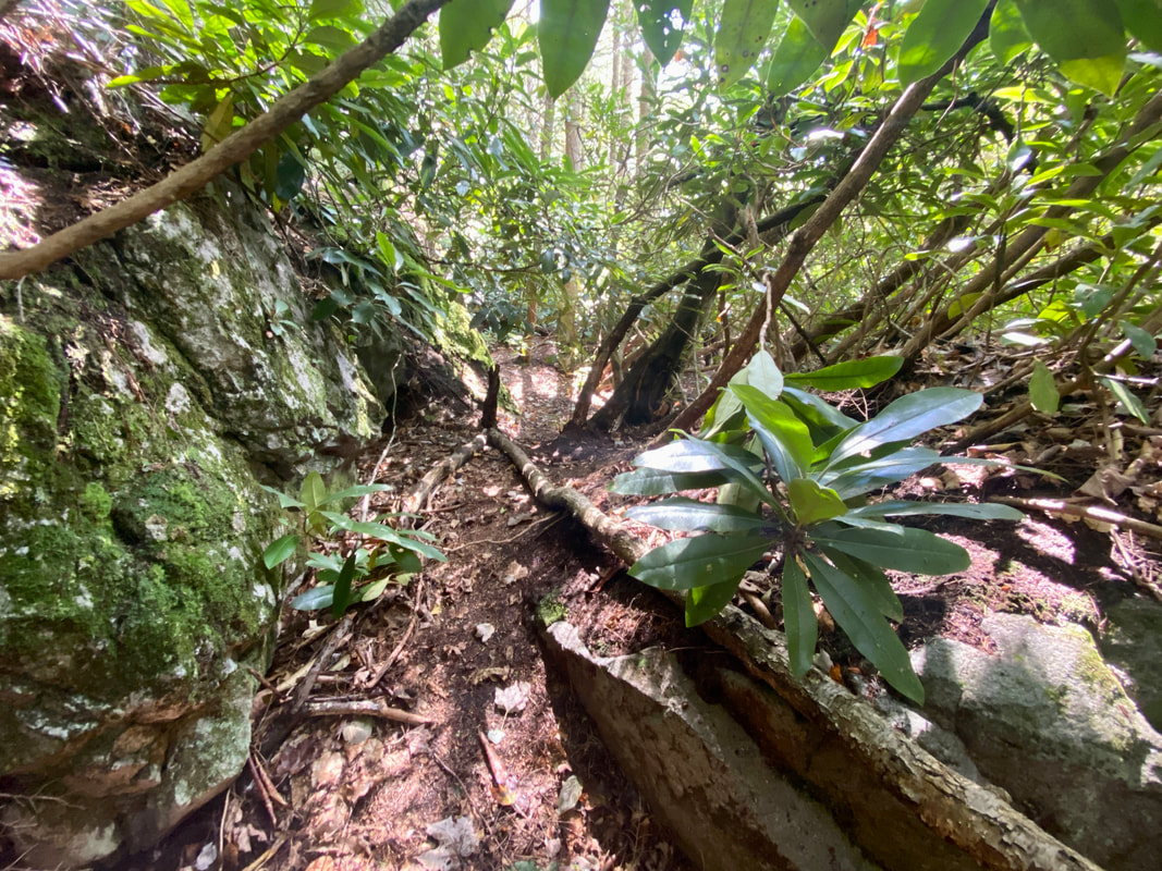
A hiker, fisherman and mushroom hunters paradise, Potomac-Garrett State Forest is full of surprises! These trails typically become more rugged the farther from the trail head you travel, with shelters by reservation and loops of multiple miles. Weather is a factor when planning trips in Potomac-Garrett State Forest.
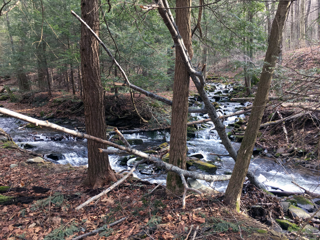
Savage River State Forest Trails
Some of the best backcountry hiking in Garrett County is found in Savage River State Forest. With specific area designations as "Wildlands" you should be prepared for rugged landscapes and plenty of wildlife activity. Two trails, Margraff and Mt. Aetna, are in the state forest but close to services. Both have moderate to difficult elevation changes.
TYPES OF PUBLIC LAND IN GARRETT COUNTY, MARYLAND
There are many different types of public land in Garrett County, Maryland, each with their own unique conservation, recreation and commercial enterprise opportunities. This page draws information primarily from the 2022 Garrett County Land Preservation, Parks, and Recreation Plan along with various Maryland Department of Natural Resources web pages, and is designed to bring you factual information about our shared public spaces. If you believe that information presented here is incorrectly cited or from an outdated source, please reach out to us so we can review your feedback and make any necessary changes.
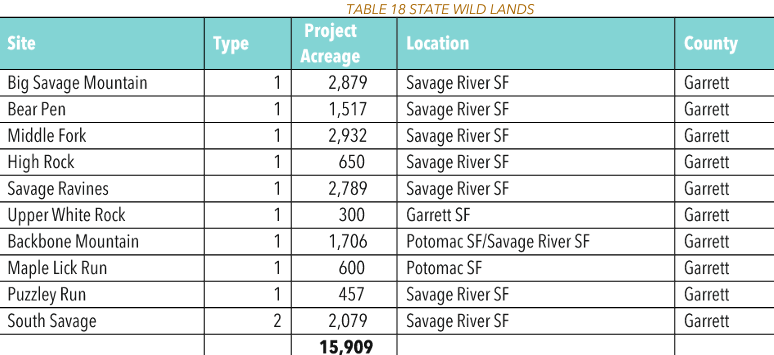
State Wild Land Systems in Garrett County- State Designated Wild Lands are designated by the General Assembly as wildlands areas.
These lands are managed for passive recreation such as, including hiking, hunting, fishing, trapping, bird watching, horseback riding and nature interpretation. Ten of the State’s 38 designated wildlands are in Garrett County totaling 15,909 acres. Most of these sites are classified as Type 1, meaning a primitive area which by its size and location is in effect untouched by urban civilization and can offer the experience of solitude and self-reliance. Type 1 wildlands are usually lands located at higher elevations that protect watersheds and are ecologically vulnerable to human interferences.
These lands are managed for passive recreation such as, including hiking, hunting, fishing, trapping, bird watching, horseback riding and nature interpretation. Ten of the State’s 38 designated wildlands are in Garrett County totaling 15,909 acres. Most of these sites are classified as Type 1, meaning a primitive area which by its size and location is in effect untouched by urban civilization and can offer the experience of solitude and self-reliance. Type 1 wildlands are usually lands located at higher elevations that protect watersheds and are ecologically vulnerable to human interferences.
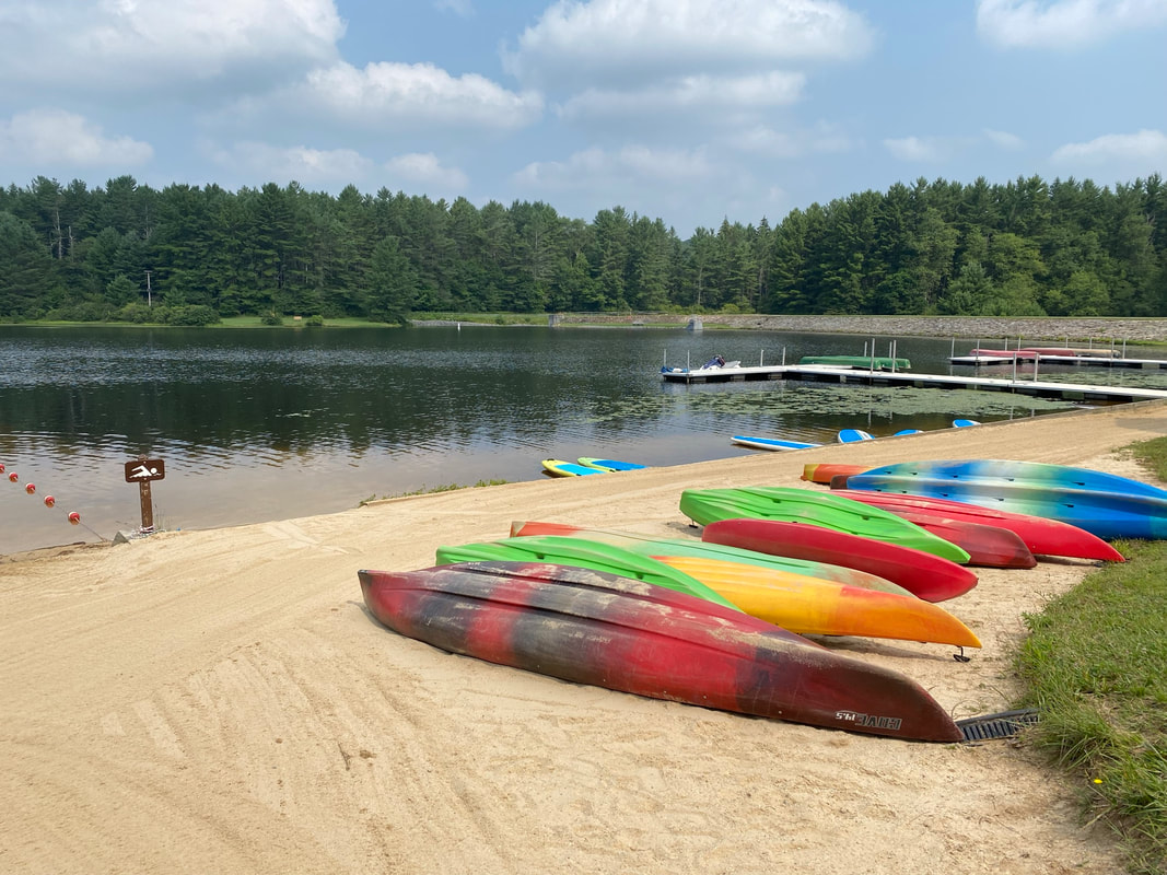
State Park Systems in Garrett County- "Ten State parks are found in Garrett County. Most offer picnic, and fishing areas, while all but Casselman River State Park have hiking paths. Mountain bike paths, swimming areas, and boat launches and rentals are available at Deep Creek, Herrington Manor and New Germany State Parks, and the last two have rental cabins available. Big Run, Deep Creek, Herrington Manor and New Germany State Parks offer canoeing, while campsites may be found at Big Run, Deep Creek, New Germany, and Swallow Falls State Parks. Wolf Den Run State Park is the first State Park to have trails for off-highway vehicles."- MD DNR Website
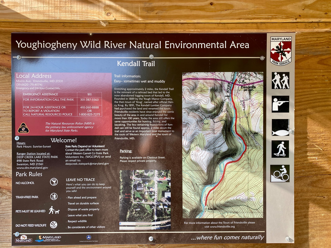
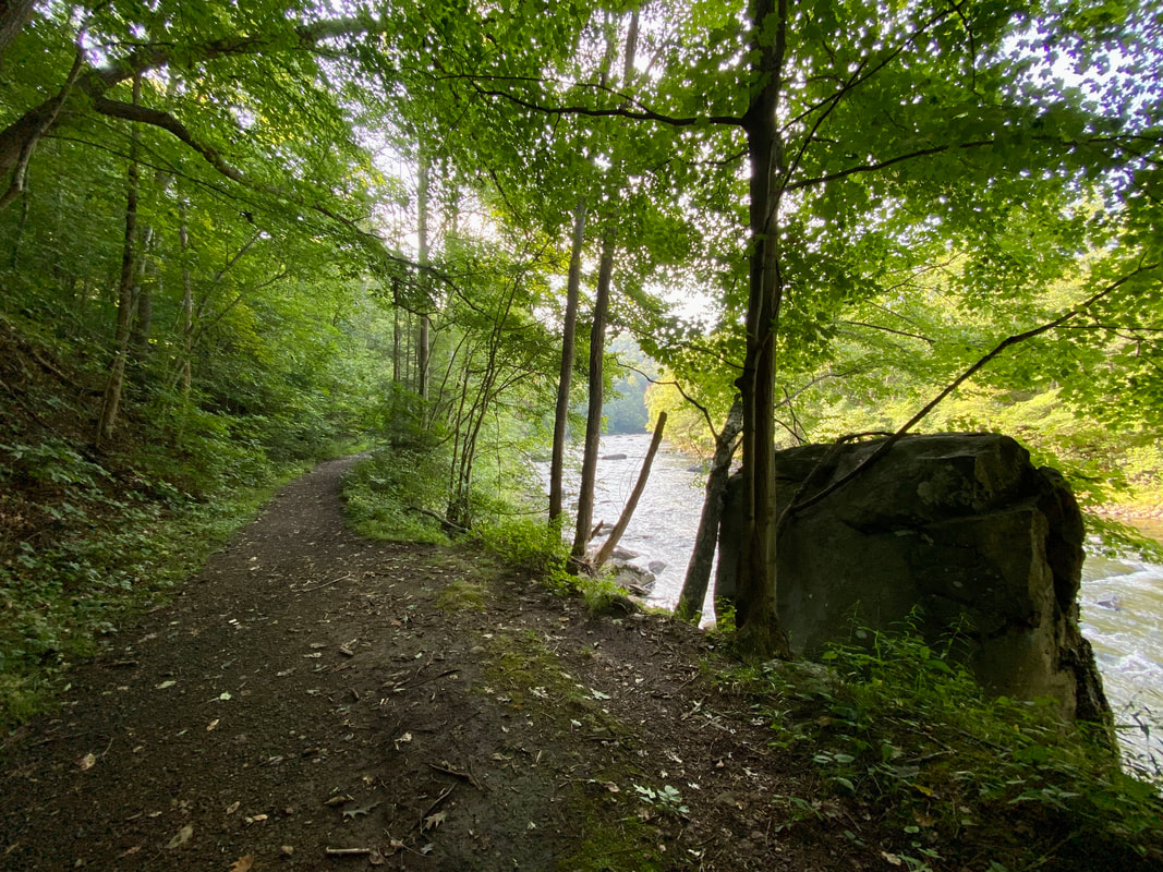
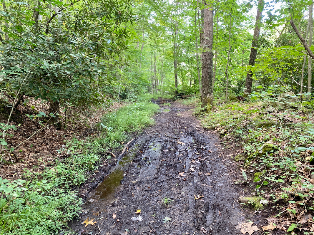
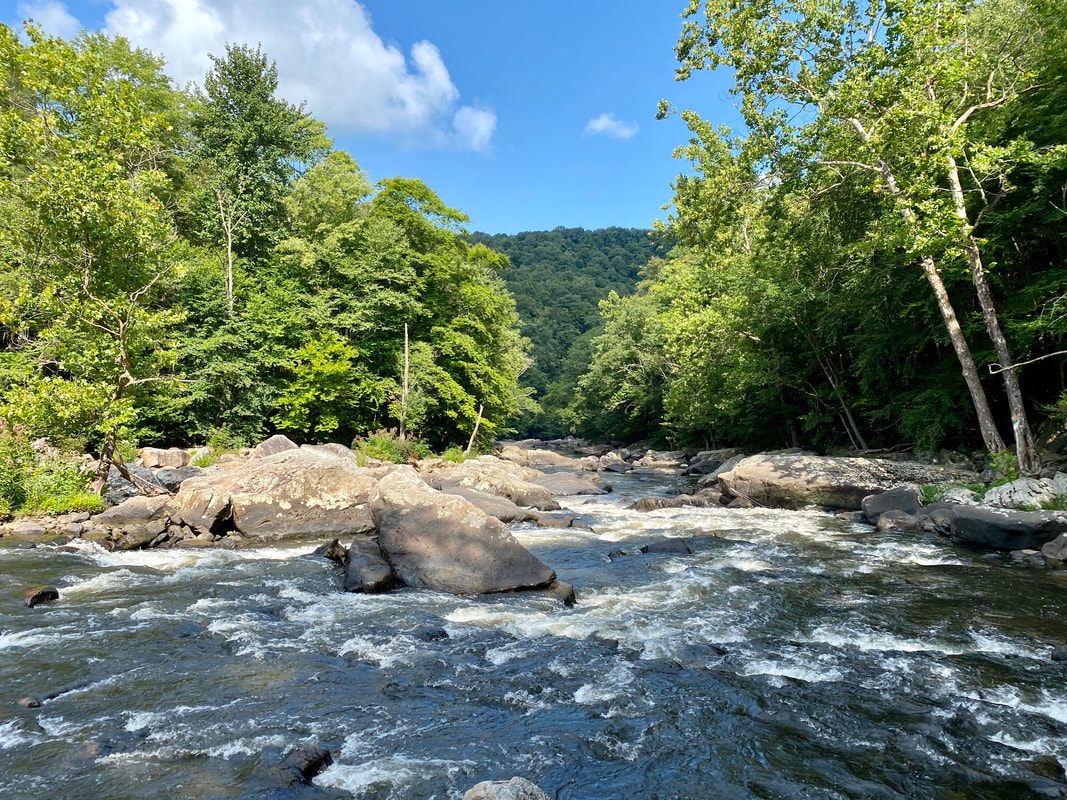
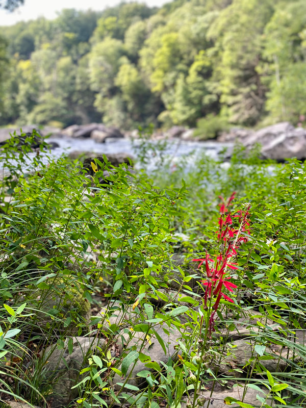
Youghiogheny Wild River Natural Environment Area- "The Youghiogheny Wild River Natural Environmental Area is part of the Deep Creek Lake State Park complex, which also manages Sang Run State Park." - MD DNR Website.
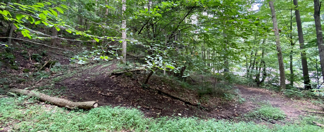
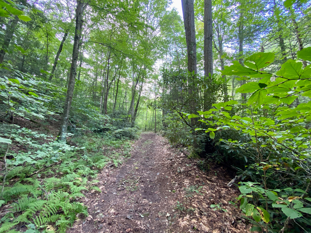
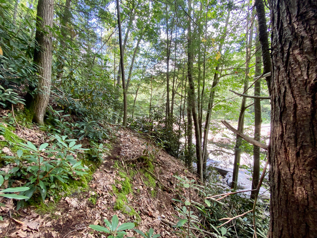
Activities allowed in the natural environment area include hiking, biking, fishing, hunting, paddling, bird watching, and nature interpretation. There are miles of trails in the area, including as part of state parks that are located in wild sections. In 2022 the Maryland General Assembly put over four million dollars in the MD DNR budget to develop a sustainable trail from Swallow Falls State Park to Friendsville, MD. Historically, communities along the river were connected by the trails and roads left behind from logging approximately 130 years ago, and we look forward to seeing them come together again.
Currently a patchwork of official trails, railbed, and logging roads exist within the corridor. This section of river supports thousands of annual private boater visits, multiple commercial whitewater businesses and for profit guided group hikes, all while remaining an important location for the conservation and study of endangered or threatened flora and fauna. Regularly scheduled man-made floods from the power station west of Deep Creek Lake ensure that private and commercial activities can continue to increase the economic vitality of connected communities, and Garrett Trails supports these endeavors as part of our mission.
Since the funding was announced, there has been a disinformation campaign at work in the community presenting the Yough canyon as pristine, meaning "in its original condition, unspoiled." Garrett Trails advocates for sustainable non-motorized access to public property and will continue to present the reality of the area. It is beautiful, it deserves our respect and protection, and we believe in your ability to visit without impacting it negatively. For more information about the river please download the management plan below. All mentions of trails are highlighted for reference.
| youghiogheny_1996_management_plan.pdf |
County Owned Parks and Recreation Lands- There are nine of these locations around the County, and while not maintained directly by the County government they are vital resources for our communities. These parks are maintained by an assortment of volunteer groups like the Deep Creek Lions Club and Garrett Trails. There are several important trail developments happening in these parks including the addition of a free play 18 hole disc golf course at Meshach Browning, and the development of approximately a mile of new wheelchair accessible trail in the Fork Run Recreation Area.
Federal Land- Federal lands in Garrett County are projects owned and operated by the U.S. Army Corps of Engineers, Jennings-Randolf Lake and the Youghiogheny River Lake. The Jennings-Randolph Lake project’s primary purpose is to control floods originating on the North Branch Potomac River, provide an adequate supply of water for domestic and industrial uses, and increase downstream water quality in the North Branch Potomac River. The Youghiogheny River Lake is 4,323.18 acres. Both lakes are heavily utilized by individuals and groups from near and far who participate in a variety of activities, like camping, boating, fishing, hiking, picnicking, and enjoying the great outdoors. A major secondary use of the project lands and waters is recreation and environmental stewardship of natural and cultural resources. - compiled from the 2022 Garrett County Land Preservation, Parks, and Recreation Plan.