CONNECT WITH US
Garrett Trails
  • Home
    • About Us >
      • Overview
  • Sponsors
  • Trails & Maps
    • All Garrett Trails
    • Trail Browser Map
    • Comment Card
    • Fork Run Recreational Area Orienteering Course
    • Snowmobile and ORV Information
    • Do the Loop
  • Trail Projects
    • RFP INFO
    • All Projects Overview
    • Continental Divide Loop Trail Overview >
      • CDLT Overview
      • Grantsville, MD/Casselman River Segment
      • Meadow Mountain Segment
      • Mid-County Connector
      • Oakland, MD & Swallow Falls
      • Friendsville, MD Segment
      • Mt. Lake Park, MD Connectors
    • Other Projects & Future Plans
  • Events
    • Calendar of Events
    • Taste of Garrett >
      • TASTE OF GARRETT SIGNUP
    • GC Gran Fondo
    • Race Up The Face
  • Gallery
  • Get Involved!
    • Donate or Sponsor
    • Adopt-a-Trail >
      • Adopt-a-Trail Application
    • Volunteer Opportunities
    • Employment Opportunities
    • Board & Meetings
  • Links
    • Taste of Garrett Participants
    • Great Allegheny Passage
    • Potomac Heritage National Scenic Trail
Go to Trail Browser
Go to Trail Index


Mt Aetna - Savage River Lodge Trails

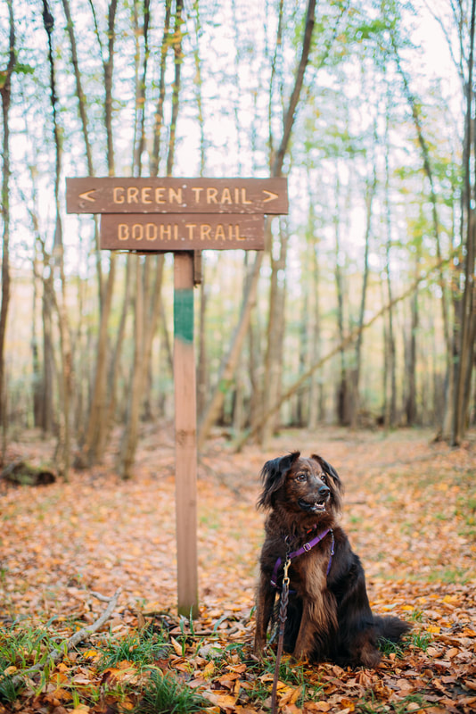
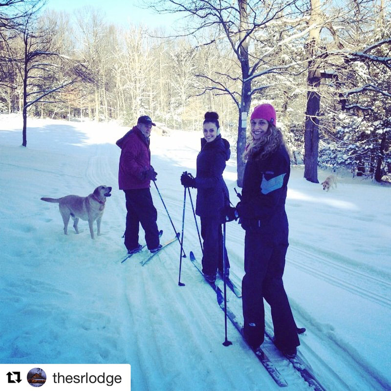
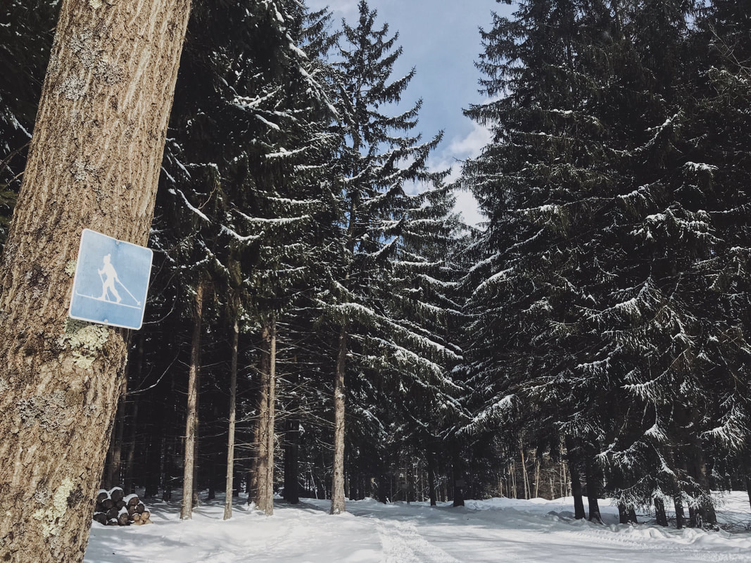
Description: Trail area is on both public, Savage River State Forest, and private, Savage River Lodge, property.

1) State Forest Trailhead (provides access to Forest trails: Outer Loop Trail, Red Oak Trail and Savage River Trail). This large loop takes you along the headwaters of the Savage River and through hardwood and conifer forest. Wildlife viewing opportunities abound.

2)  Savage River Lodge Trailhead (provides access to both private and public trails:  Bodhi's Trail, Mudlick Trail and and other connections) Access via Bodhi's Trail is from the Savage River Lodge office, a $5 fee is charged for using the Lodge grounds and trails.

Use: Mountain Biking, Hiking and XC Skiing

Difficulty: Easy to Moderate

Directions: From Exit 29 off I-68 (Finzel) Take Beall School Road South. Travel 1 mile to “T” intersection and turn right. Travel .1 mile to “Y” intersection and bear left onto Frostburg Road. Continue 2.6 miles and turn right at our sign onto Mt. Aetna Road. Mt Aetna Road becomes a gravel road at the bottom of the first hill. The trailhead for the Outer Loop is at the bridge. Continue on the road to the Lodge for Bodhi's Trail.

Get directions to trailhead with Google Maps