CONNECT WITH US
Garrett Trails
  • Home
    • About Us >
      • Overview
  • Sponsors
  • Trails & Maps
    • All Garrett Trails
    • Trail Browser Map
    • Comment Card
    • Fork Run Recreational Area Orienteering Course
    • Snowmobile and ORV Information
    • Do the Loop
  • Trail Projects
    • RFP INFO
    • All Projects Overview
    • Continental Divide Loop Trail Overview >
      • CDLT Overview
      • Grantsville, MD/Casselman River Segment
      • Meadow Mountain Segment
      • Mid-County Connector
      • Oakland, MD & Swallow Falls
      • Friendsville, MD Segment
      • Mt. Lake Park, MD Connectors
    • Other Projects & Future Plans
  • Events
    • Calendar of Events
    • Taste of Garrett >
      • TASTE OF GARRETT SIGNUP
    • GC Gran Fondo
    • Race Up The Face
  • Gallery
  • Get Involved!
    • Donate or Sponsor
    • Adopt-a-Trail >
      • Adopt-a-Trail Application
    • Volunteer Opportunities
    • Employment Opportunities
    • Board & Meetings
  • Links
    • Taste of Garrett Participants
    • Great Allegheny Passage
    • Potomac Heritage National Scenic Trail
Go to Trail Browser
Go to Trail Index


Paul Sarbanes Trail

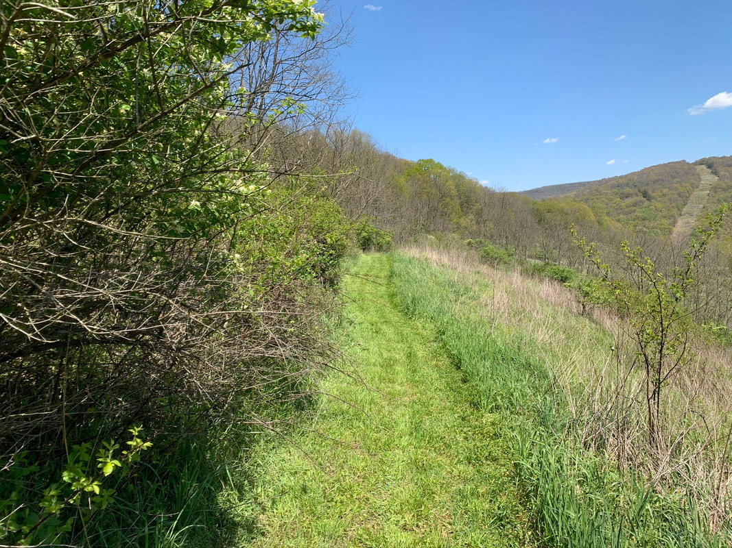
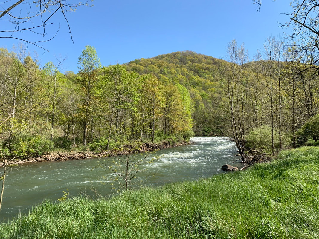
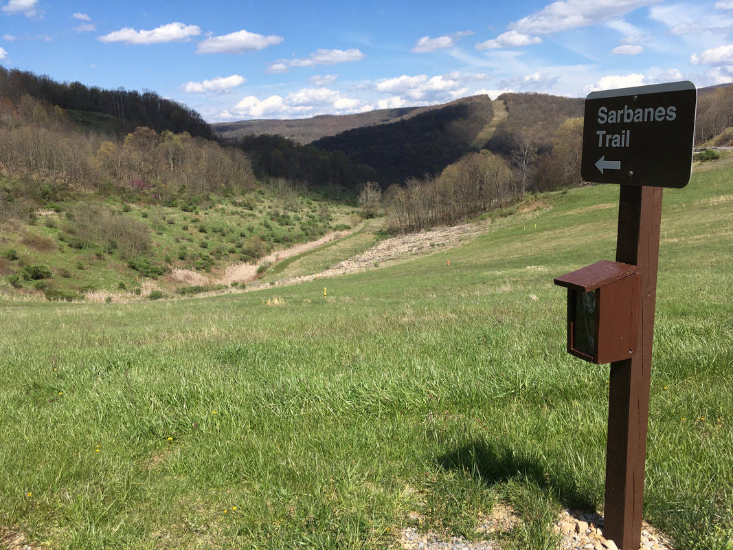
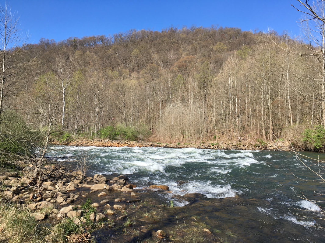
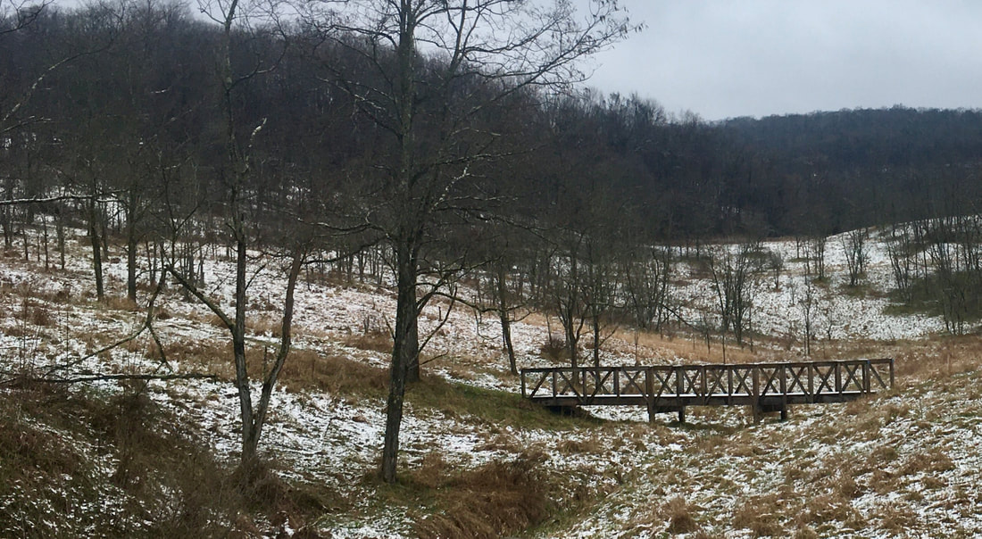
Description: This is a short (1.2 miles oneway) but scenic trail through meadows and woods that provides access to the northern branch of the Potomac River and fishing spots.  Climb back to the top parking area can be strenuous.

Use: Hiking

Difficulty: Moderate (Steep Uphill Climb)

Directions:  From the Visitor Center in McHenry, MD turn right onto US219 South/Garrett Highway and continue for 7 miles. Turn left onto Sand Flat Road and continue for 4.4 miles. At the flashing yellow lights, turn left again, onto MD135 East and continue for 2.6 miles. At the next set of flashing yellow lights, turn right to continue on MD135 East for another  6.1 miles. Finally, turn right onto Walnut Bottom Road and continue for 4.3 miles. Follow the signs for Jennings Randolph Lake, turn right and continue for .3 miles to trail head parking area.

Directions to trailhead on Google Maps