Garrett Trails
  • Home
  • About
  • Trails & Maps
    • All Terrain Wheelchair
    • Trails >
      • Water Trails
      • Cunningham Swamp WMA
      • Hoyes Run Fishing Trail & Boat Launch
      • Mosser Road Heritage Trail
      • Swallow Falls Fishermans Trail
    • The ULTIMATE Garrett County Adventure Map
    • Fork Run Recreational Area Orienteering Course
    • Snowmobile and ORV Information
  • Events
    • Garrett County Gran Fondo
    • Taste of Garrett County
  • Gallery
  • Eastern Continental Divide Loop
    • ECDL Overview
  • Get Involved!
    • Donate or Sponsor
    • Comment Card
  • Community Links
  • Volunteer Portal

Accident Town Trail

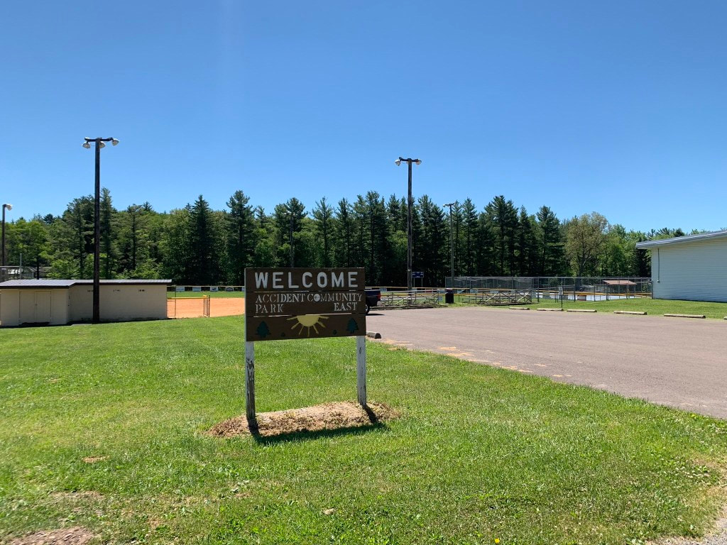
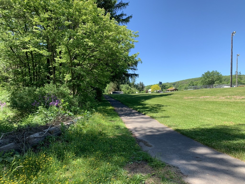
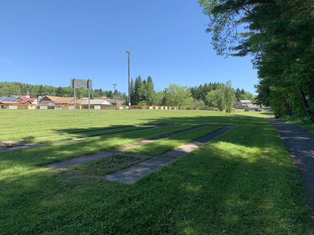
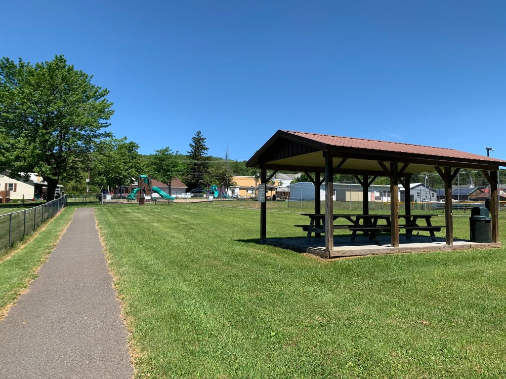
Description: Paved town fitness and walking trail around baseball diamond and horseshoe pits.  (~1/2 mile loop)

Use: Walking, Jogging
Difficulty: Easy
Directions:  9 minutes, 6.1 miles from Visitors Center Drive; Turn left (north) onto RT 219 5.5 miles, turn right onto South St 230 feet, park on the right.
Directions to trailhead on Google Maps

​© Garrett Trails. All rights reserved.
  • Home
  • About
  • Trails & Maps
    • All Terrain Wheelchair
    • Trails >
      • Water Trails
      • Cunningham Swamp WMA
      • Hoyes Run Fishing Trail & Boat Launch
      • Mosser Road Heritage Trail
      • Swallow Falls Fishermans Trail
    • The ULTIMATE Garrett County Adventure Map
    • Fork Run Recreational Area Orienteering Course
    • Snowmobile and ORV Information
  • Events
    • Garrett County Gran Fondo
    • Taste of Garrett County
  • Gallery
  • Eastern Continental Divide Loop
    • ECDL Overview
  • Get Involved!
    • Donate or Sponsor
    • Comment Card
  • Community Links
  • Volunteer Portal