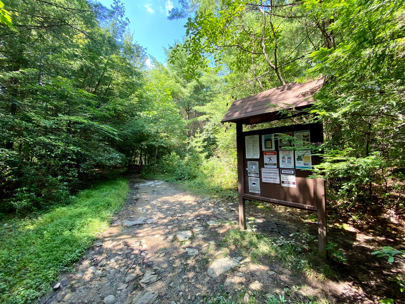
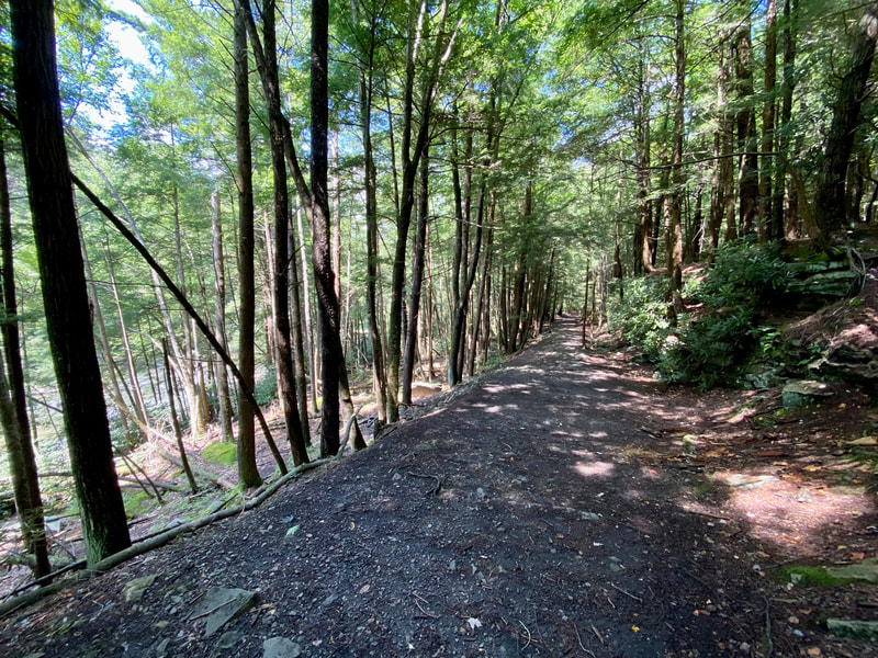
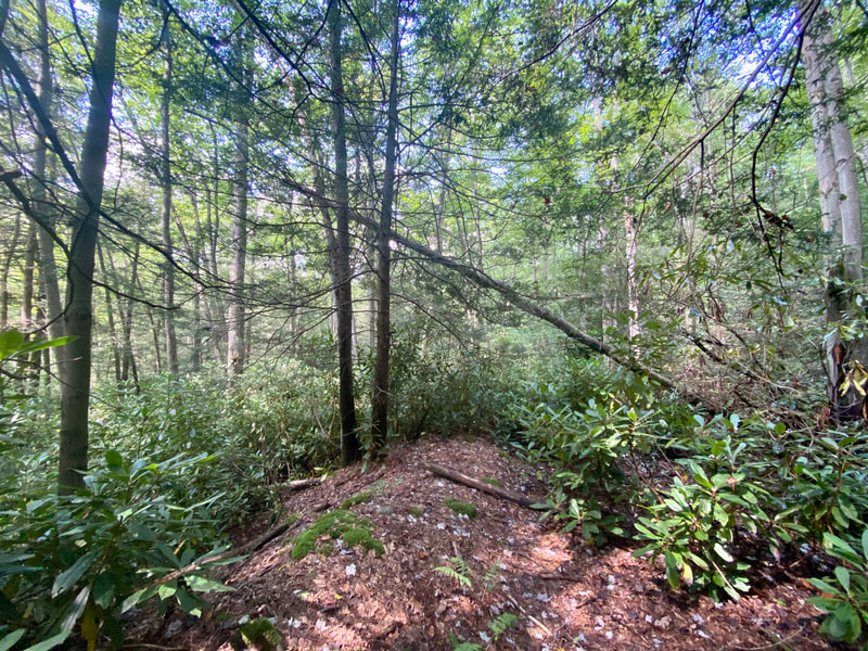
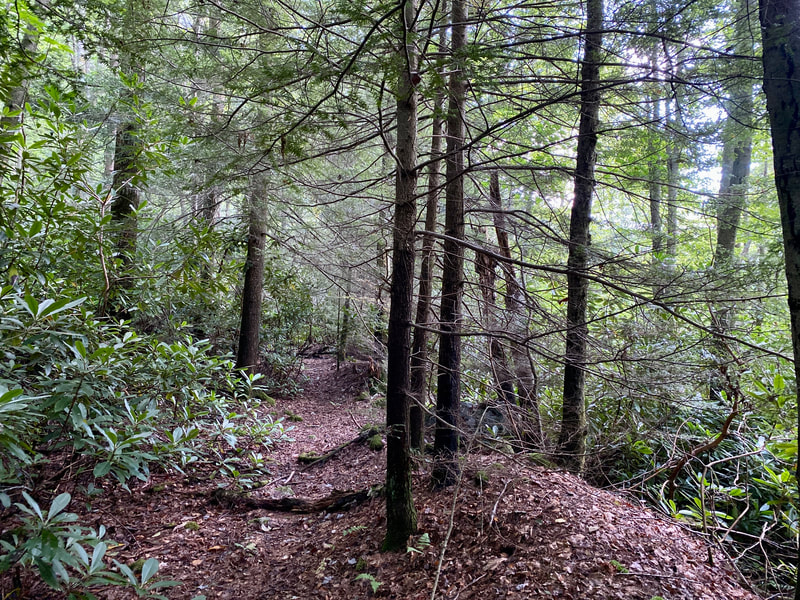
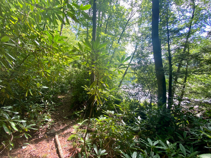
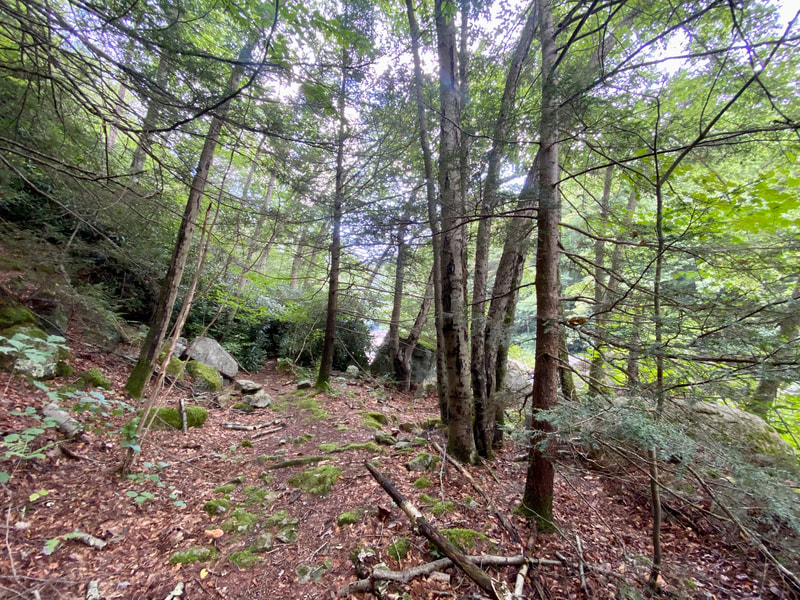
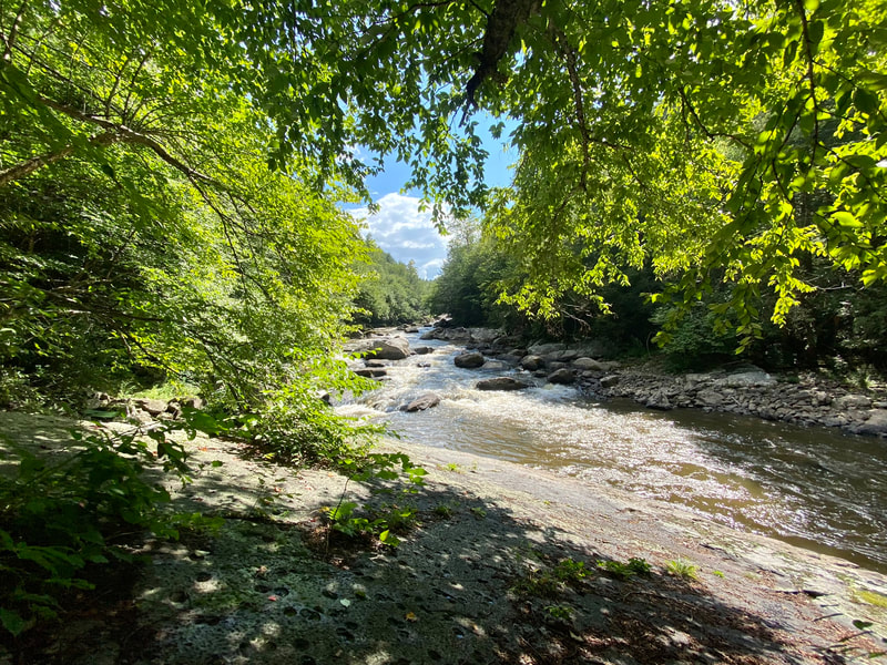
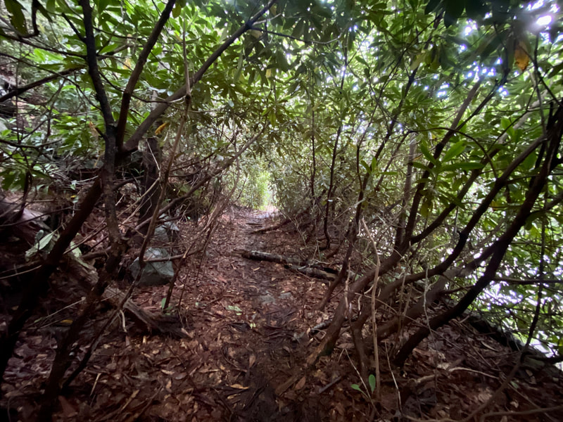
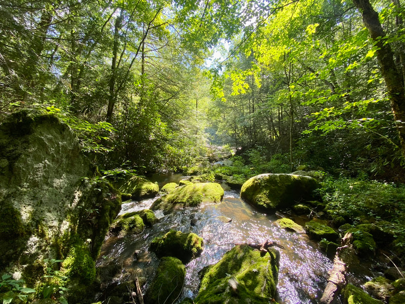
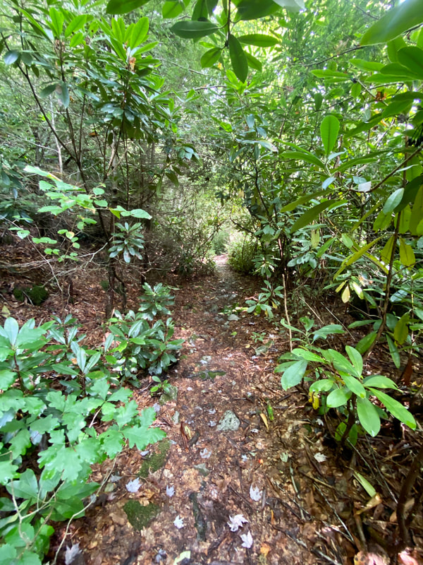
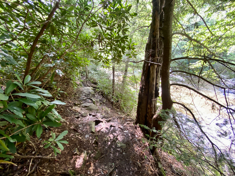
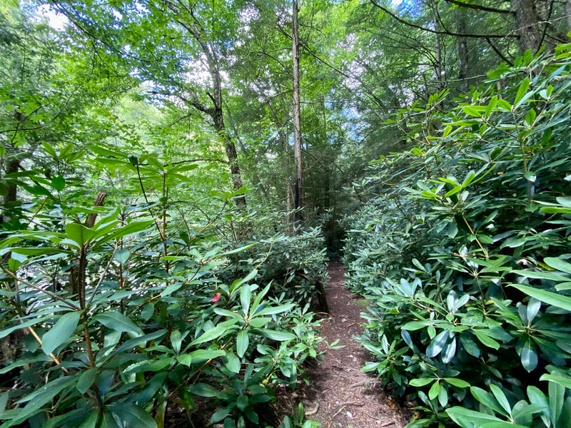
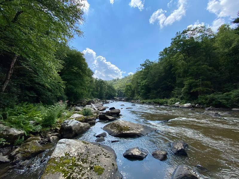
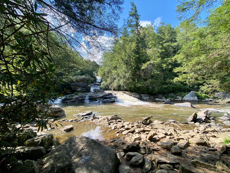
Description: This 4 mile (round trip) trail is in the Youghiogheny Wild River Natural Environmental Area and travels along river right of the Yough. The trail is wide enough for people to pass with plenty of space until below the confluence of Muddy Creek and the Yough. At that point it becomes narrower as the rhododendron grows in and takes on a more remote character than other trails in the area. There is an incredible view of Muddy Creek Falls above the confluence and outside of summer swimming season this trail is typically quiet.
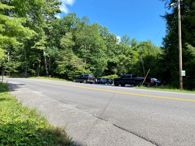
Note: Rocks along the river can be extremely slick, dogs must be on leash and you are in bear and snake country. Be aware of falling ice along the right side of the trail in the winter. Only park in the gravel lot at the trailhead, do not park along the county road.
Use: Hiking, Fishing
Difficulty: Easy-Moderate
Directions: 18 minutes, 11.3 miles from Visitor's Center Drive; Turn right onto US-219 S 5.8 mi, Turn right onto Mayhew Inn Road 1.4 mi, Turn left onto Bray School Road 1.7 mi, Turn right onto Oakland Sang Run Road 0.9 mi, limited parking will be on your left. Do not park along the county road.

