Garrett Trails
  • Home
  • Trails & Maps
    • All Terrain Wheelchair
    • Trails >
      • Water Trails
      • Cunningham Swamp WMA
      • Hoyes Run Fishing Trail & Boat Launch
      • Mosser Road Heritage Trail
      • Swallow Falls Fishermans Trail
    • The ULTIMATE Garrett County Adventure Map
    • Fork Run Recreational Area Orienteering Course
    • Snowmobile and ORV Information
  • Garrett County Gran Fondo
  • Gallery
  • Eastern Continental Divide Loop
    • ECDL Overview
  • Get Involved!
    • Donate or Sponsor
    • Comment Card
  • Community Links
  • Volunteer Portal
  • About

​Fork Run Recreational Area Orienteering Course

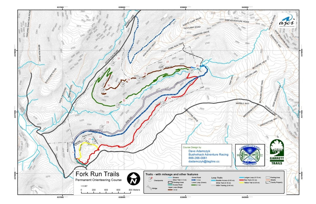
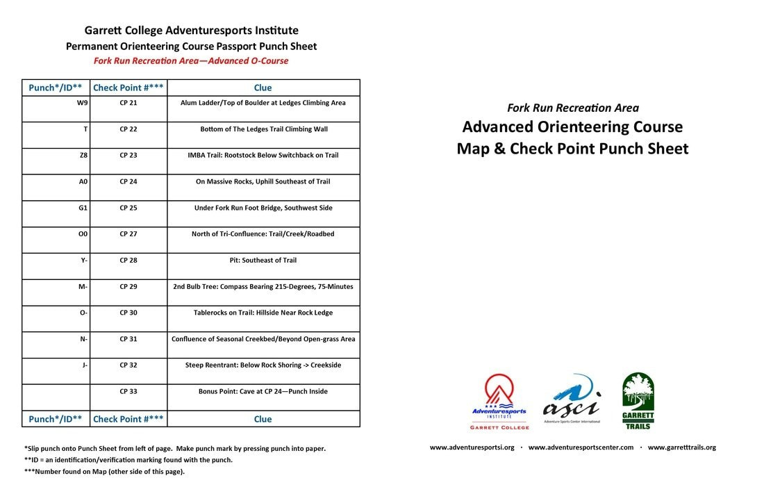
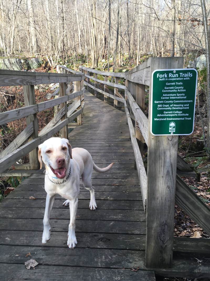
FORK RUN RECREATIONAL AREA ORIENTEERING COURSE

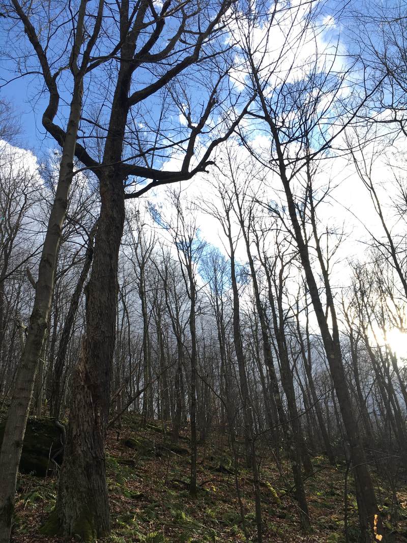
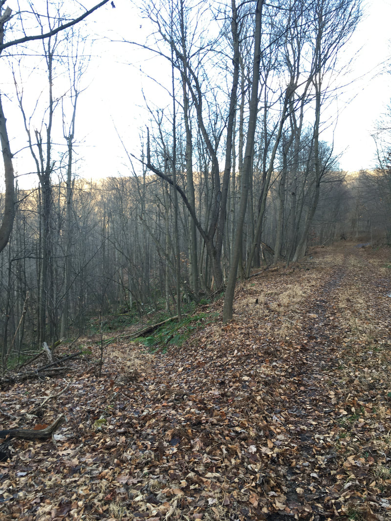
Navigate through the Fork Run Trails Area Orienteering Course while using a map and compass to complete each check point. At each check point, the orienteer will find a tube that holds a punch that will be used to punch the located check point on your sheet. Great for team building skills, outdoor recreation, and scouting.

SEND US YOUR PICTURES
Garrett Trails FaceBook Page

MAP & CHECKPOINT DOWNLOAD
Picture
Picture
​© Garrett Trails. All rights reserved.
  • Home
  • Trails & Maps
    • All Terrain Wheelchair
    • Trails >
      • Water Trails
      • Cunningham Swamp WMA
      • Hoyes Run Fishing Trail & Boat Launch
      • Mosser Road Heritage Trail
      • Swallow Falls Fishermans Trail
    • The ULTIMATE Garrett County Adventure Map
    • Fork Run Recreational Area Orienteering Course
    • Snowmobile and ORV Information
  • Garrett County Gran Fondo
  • Gallery
  • Eastern Continental Divide Loop
    • ECDL Overview
  • Get Involved!
    • Donate or Sponsor
    • Comment Card
  • Community Links
  • Volunteer Portal
  • About