|
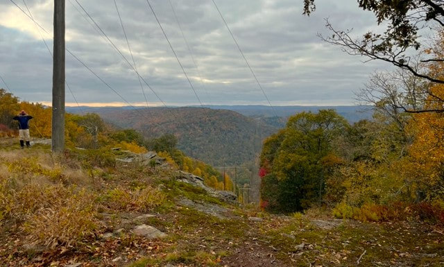
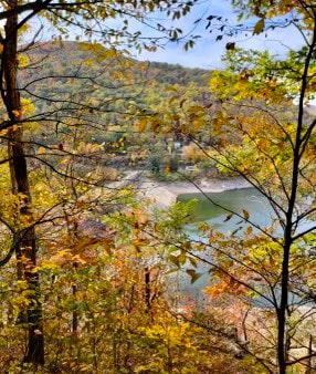
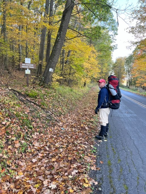
Description: This is a challenging 17 mile mountain-top trail that travels over steep and rocky terrain. The MD DNR continues to perform trail maintenance and the trail is reported in good condition as of 10/20/23. While there are white blazes present, good route finding skills are essential for full traverses. Primitive camping permits are available at Savage River State Forest Headquarters, located across from New Germany State Park. Water is not generally available along the trail, and some backpackers will cache day 2 water near Pine Swamp Road. Don't miss the lookout at High Rock, found on the google map to the right.
Use: Hiking Difficulty: Difficult Directions: Northern End – Take exit 29 off I-68 and head south on Beall School Road for 1.25 miles. At the T-intersection, turn left and continue on this road for 1.25 miles to trail sign. South End – Turn north on Savage River Road and go approximately 4 miles. Turn right into a primitive camp area where trail can be located. Directions to northern trailhead on Google Maps Directions to southern trailhead on Google Maps |
|

© Garrett Trails. All rights reserved.