Garrett Trails
  • Home
  • Trails & Maps
    • All Terrain Wheelchair
    • Trails >
      • Water Trails
      • Cunningham Swamp WMA
      • Hoyes Run Fishing Trail & Boat Launch
      • Mosser Road Heritage Trail
      • Swallow Falls Fishermans Trail
    • The ULTIMATE Garrett County Adventure Map
    • Fork Run Recreational Area Orienteering Course
    • Snowmobile and ORV Information
  • Garrett County Gran Fondo
  • Gallery
  • Eastern Continental Divide Loop
    • ECDL Overview
  • Get Involved!
    • Donate or Sponsor
    • Comment Card
  • Community Links
  • Volunteer Portal
  • About

Friendsville Town Trail

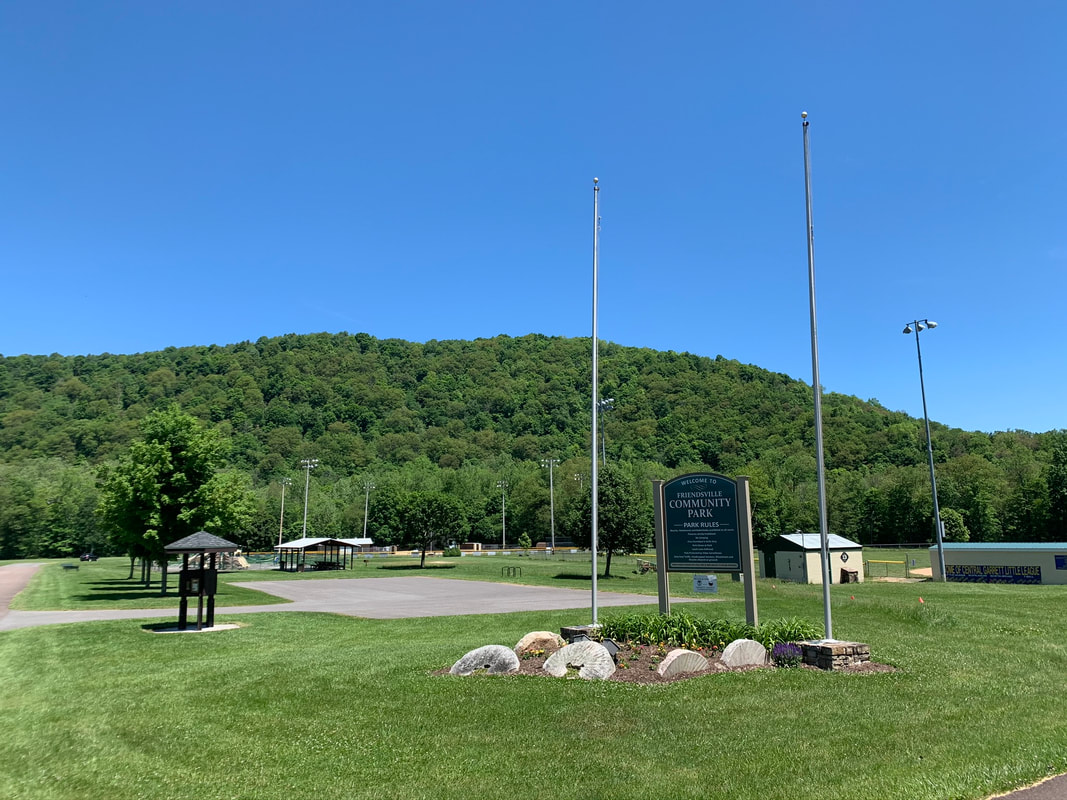
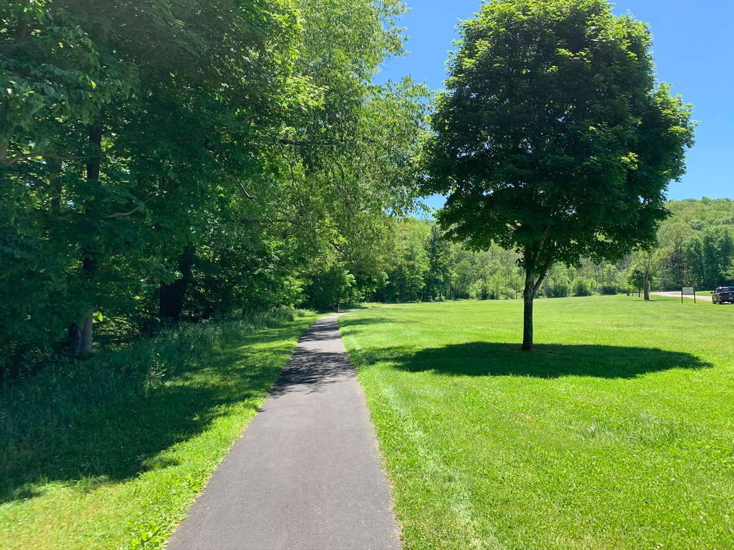
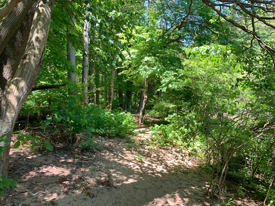
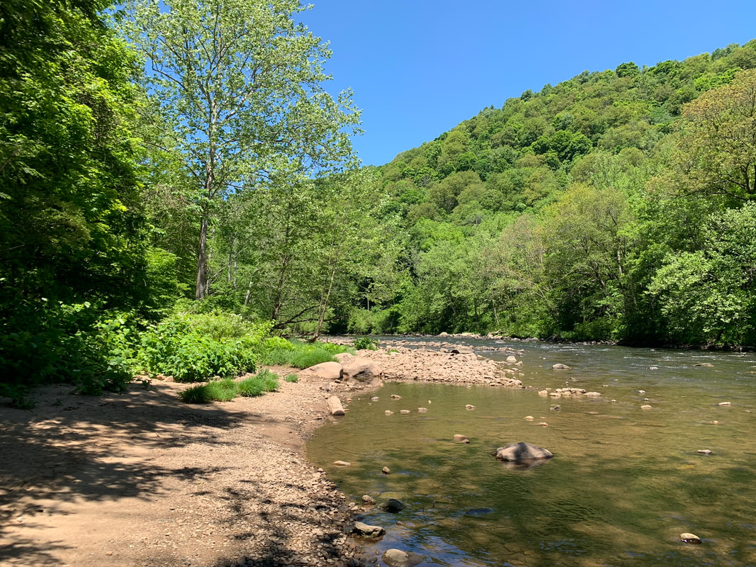
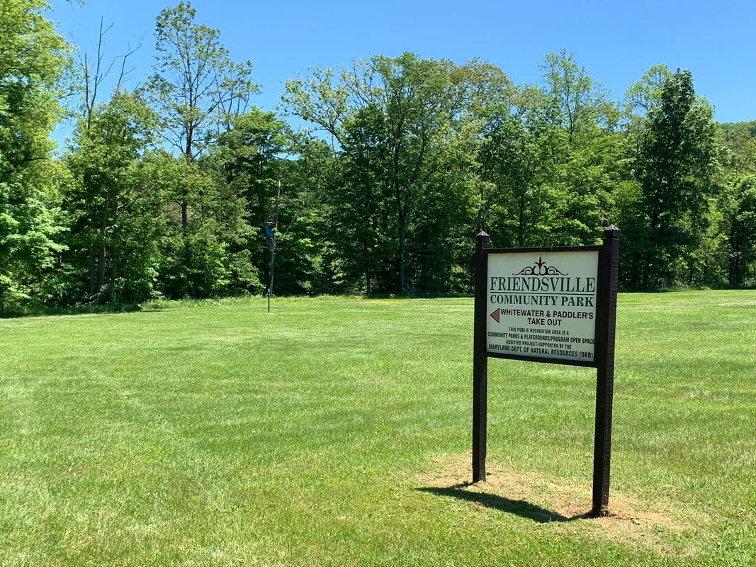
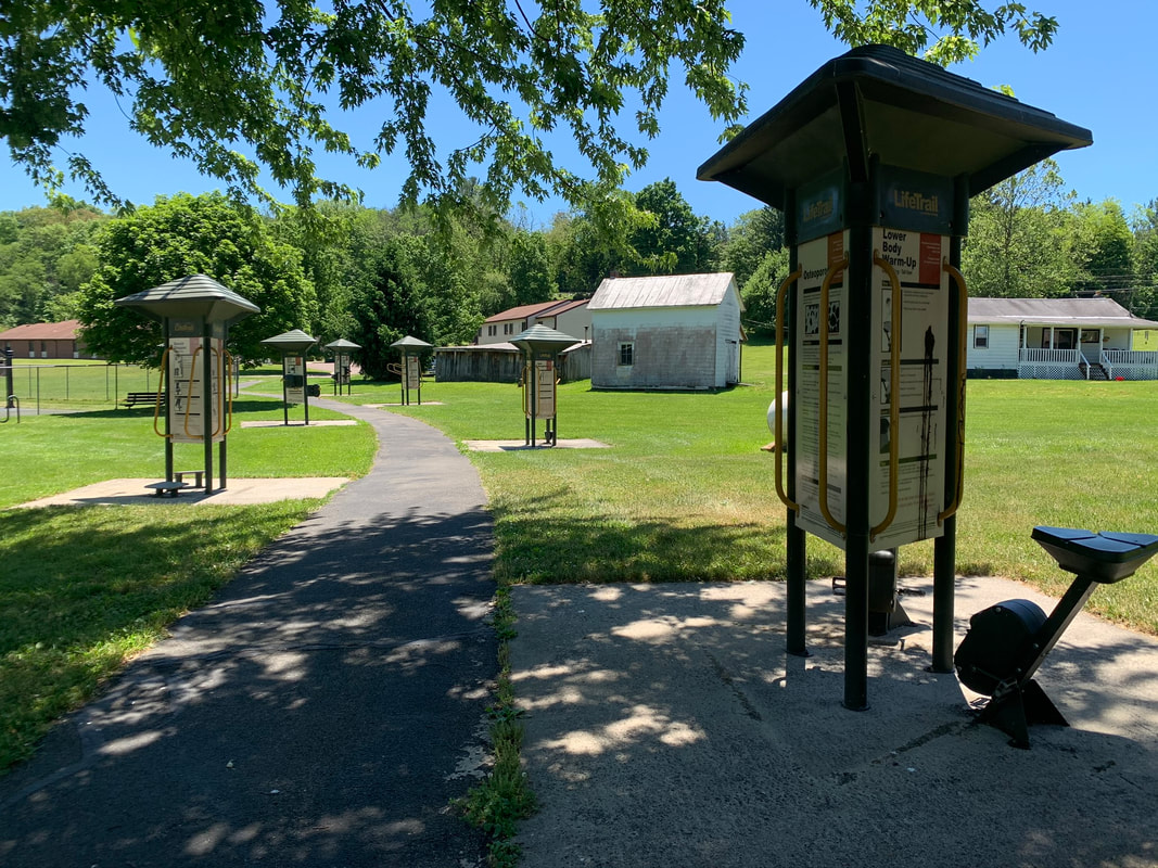
Description: This is a short, paved fitness/walking trail along the perimeter of the Friendsville town park. Sections of trail follow the Youghiogheny River and Bear Creek. A gravel road extends down river for a nice out and back riverside walk.

Use: Walking, biking, fishing
Difficulty: Easy

Directions: 16 minutes, 9.3 miles from the Visitor Center; Turn left (north) onto RT 219 1.1 miles, turn left onto MD-42/Friendsville Rd 7.2 miles, right onto First Avenue 0.4 mile, turn right onto Maple St 374 feet, turn left onto Second Avenue 0.4 mile, park is on your left. 
Get directions to park with Google Maps
​© Garrett Trails. All rights reserved.
  • Home
  • Trails & Maps
    • All Terrain Wheelchair
    • Trails >
      • Water Trails
      • Cunningham Swamp WMA
      • Hoyes Run Fishing Trail & Boat Launch
      • Mosser Road Heritage Trail
      • Swallow Falls Fishermans Trail
    • The ULTIMATE Garrett County Adventure Map
    • Fork Run Recreational Area Orienteering Course
    • Snowmobile and ORV Information
  • Garrett County Gran Fondo
  • Gallery
  • Eastern Continental Divide Loop
    • ECDL Overview
  • Get Involved!
    • Donate or Sponsor
    • Comment Card
  • Community Links
  • Volunteer Portal
  • About