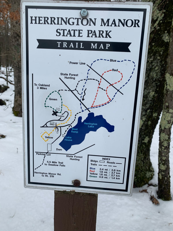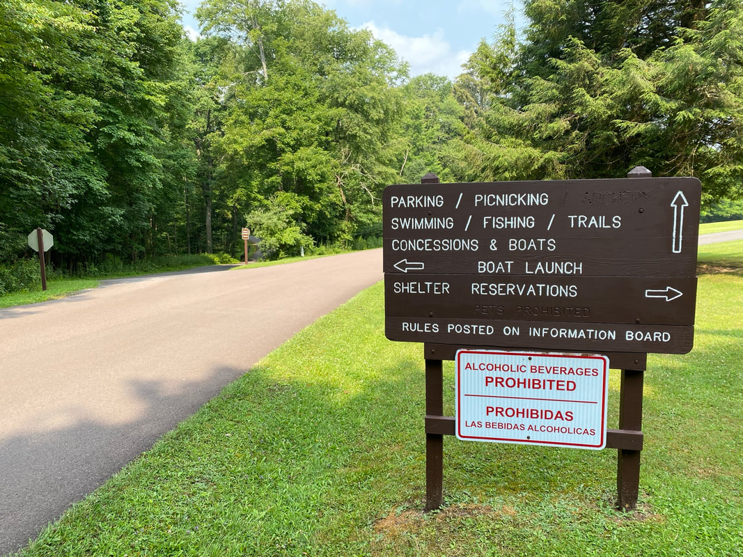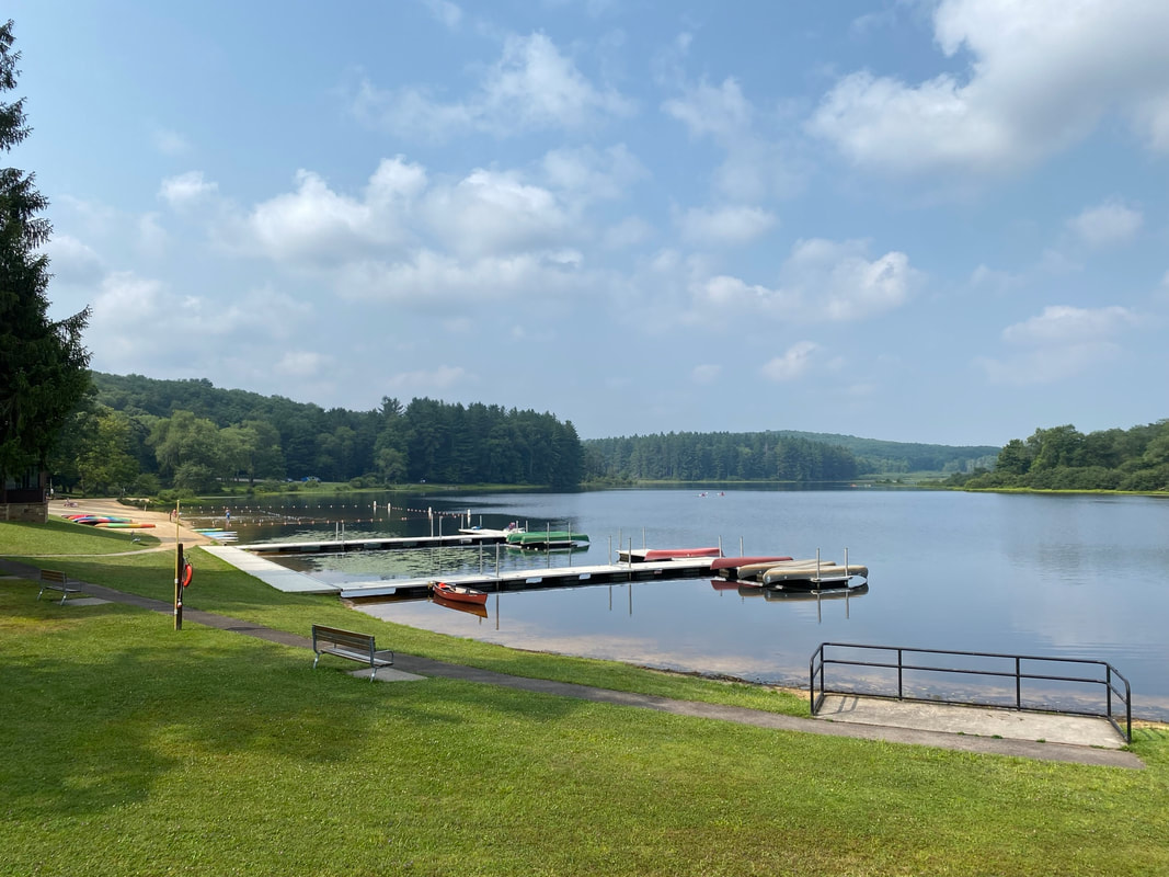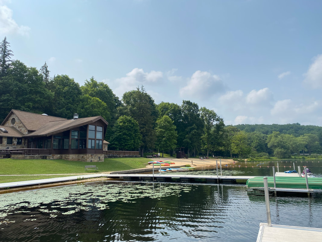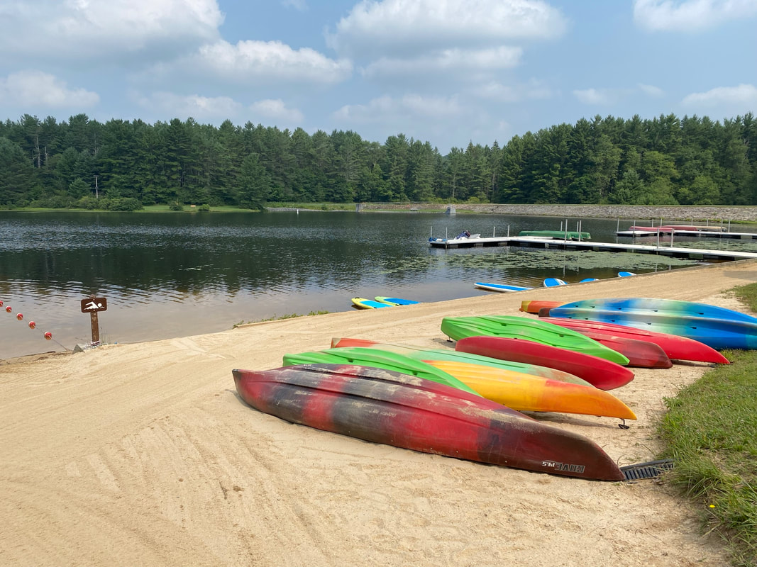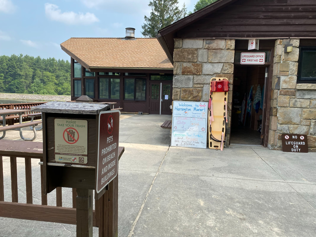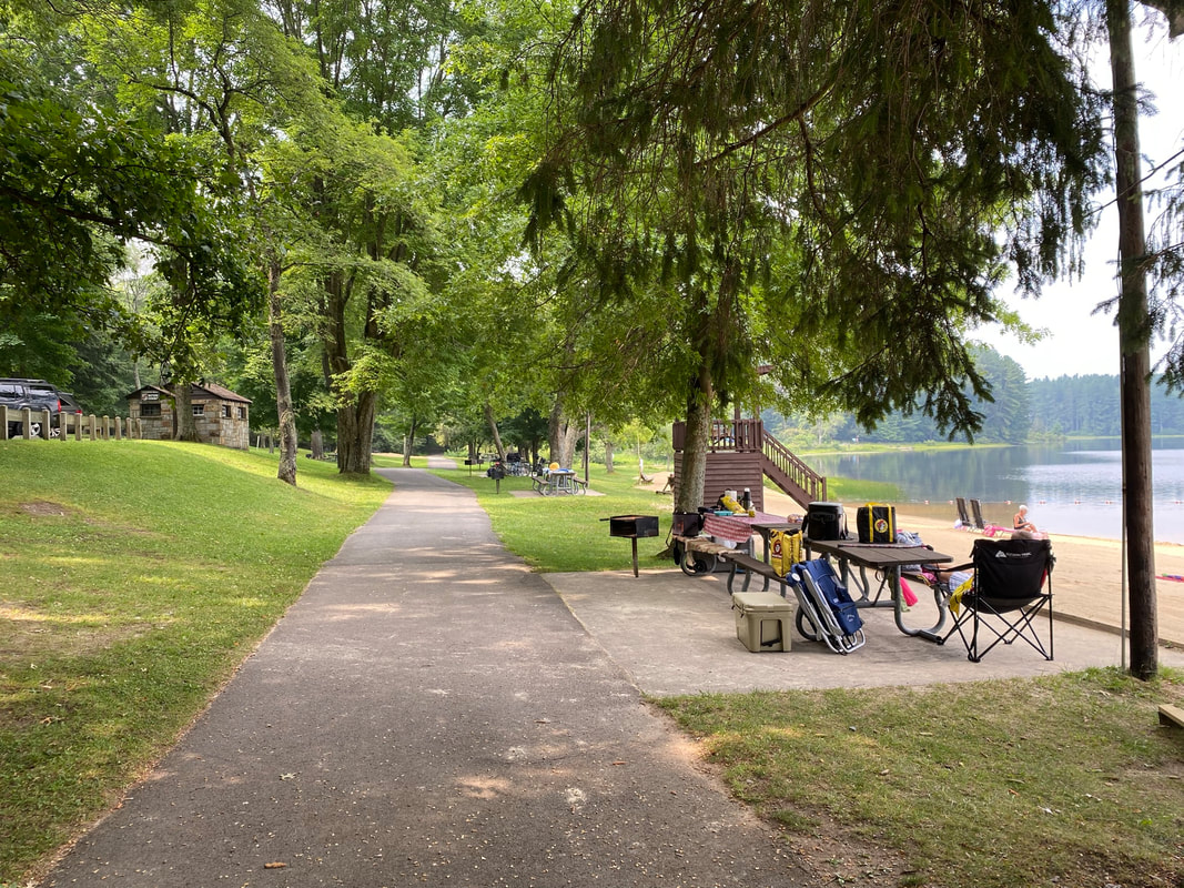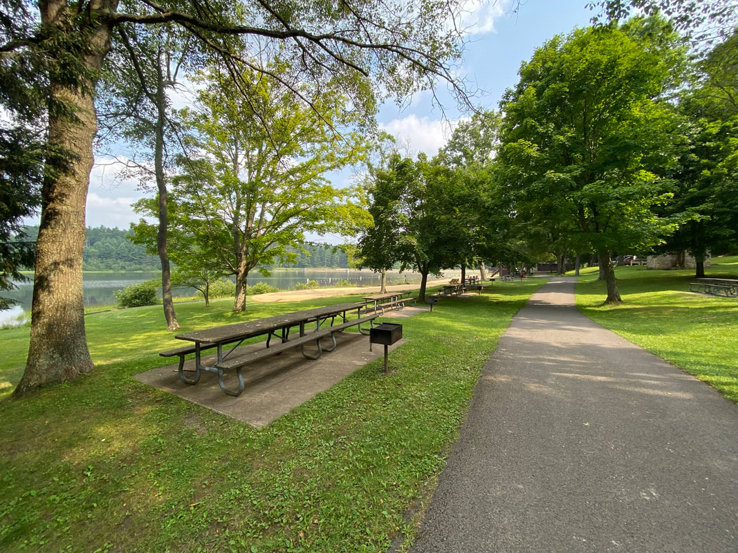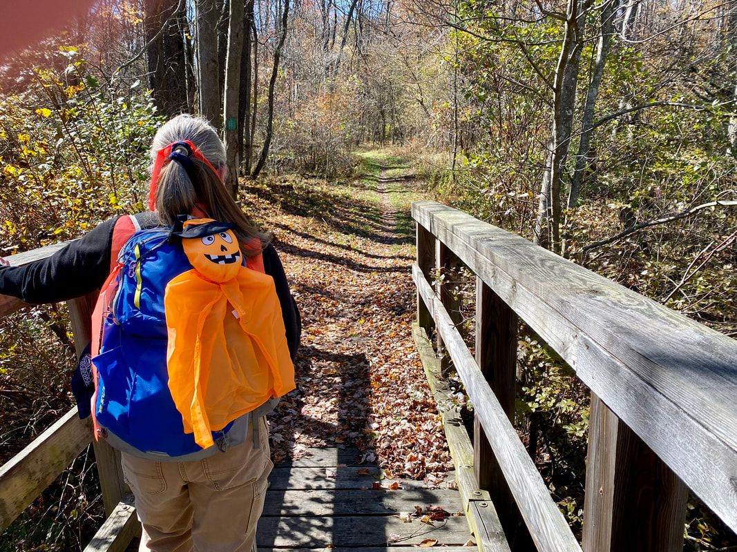
Description: The park offers swimming, row boating, canoeing and paddle boating, picnicking, hiking, tennis, volleyball and 20 furnished log cabins for rental use year round. There are 4 trails of varying lengths. Trails are grass covered and broad. Terrain varies with some hill climbing and several areas are soft during wet spells. Trails are groomed in the winter for cross-country skiing. The Red and Blue trails can be accessed at the concession stand by the lake. The Green trail is accessed behind the backstop at the ballfield, near the tennis courts. The Yellow trail is accessed from the Green trail.
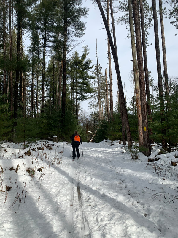
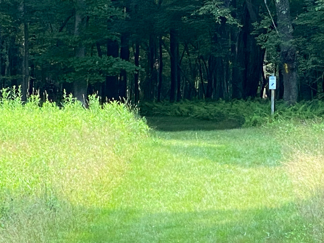
Use: Hiking, Mountain Biking, XC Skiing
Difficulty: Easy – Moderate
Directions: 25 minutes, 15 miles from Visitor Center Drive; Turn right onto RT-219 S 6.2 miles, turn right onto Mayhew Inn Rd 4.3 miles, slight left onto Oakland Sang Run Rd 0.3 mile, turn right onto Swallow Falls Rd 4.5, turn right into the state park. The Red and Blue trails can be accessed at the concession stand by the lake. The Green trail is accessed behind the backstop at the ballfield, near the tennis courts. The Yellow trail is accessed from the Green trail.
Directions to park entrance on Google Maps
Resources: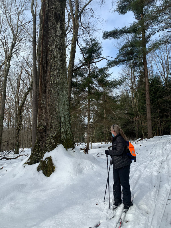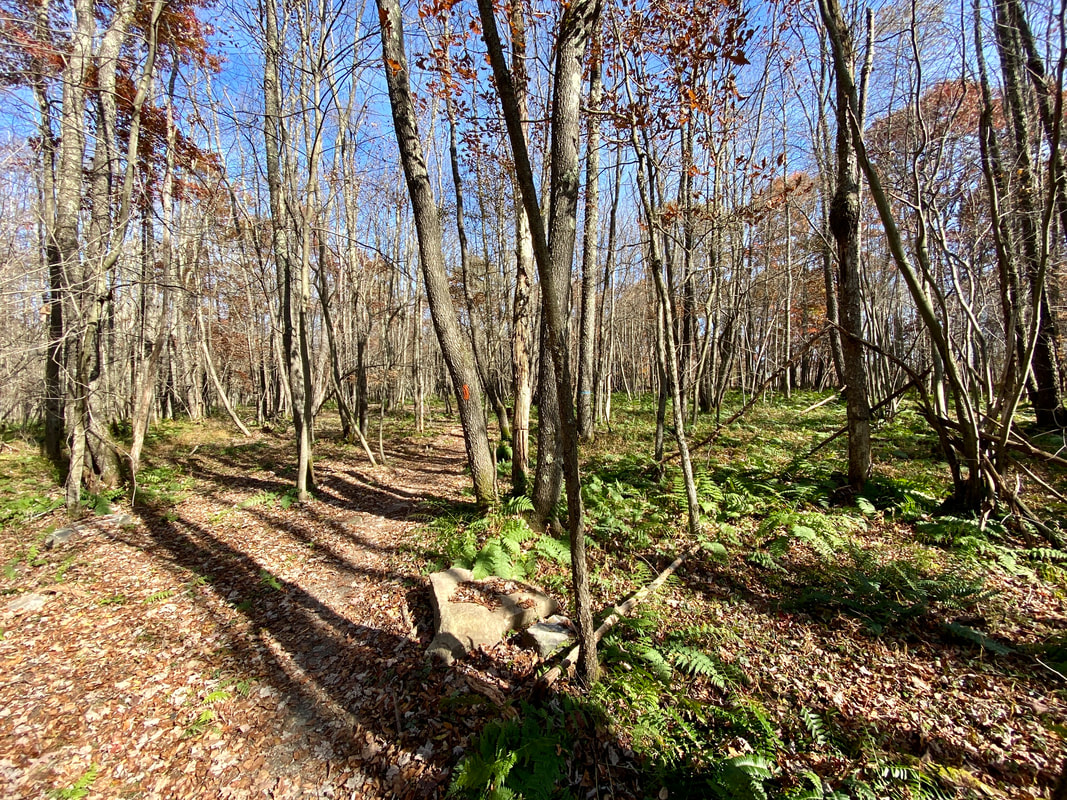
- Maryland DNR Trails Atlas – Herrington Area Trails
- slot qris
- slot pulsa