|
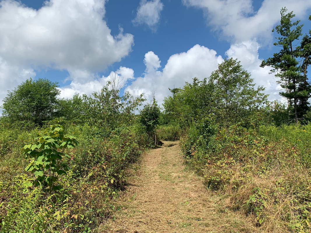
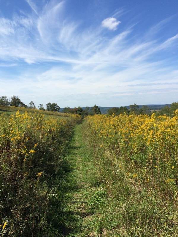
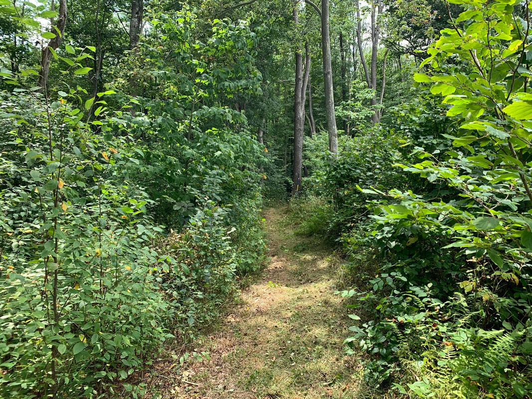
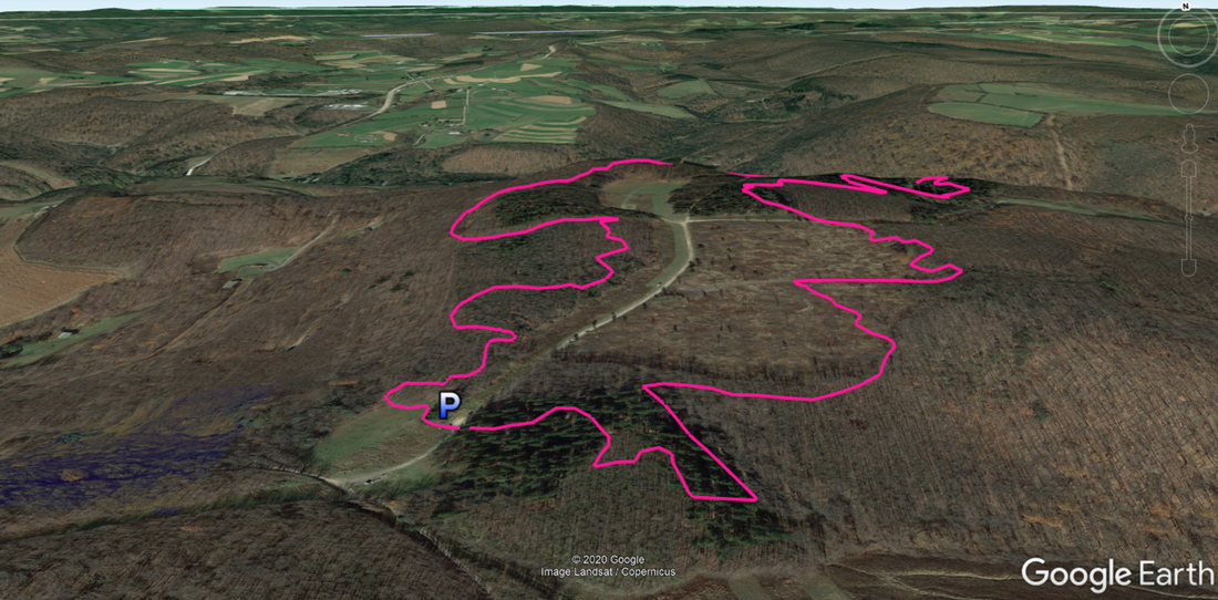
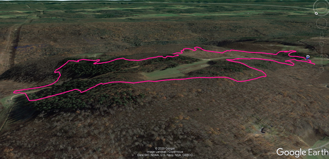
March 13, 2023 UPDATE – In 2020 we teamed up with Savage River State Forest and local volunteers to reopen the North Loop at Margraff! In 2022 we added benches and signs leaving from either side of the main parking lot.
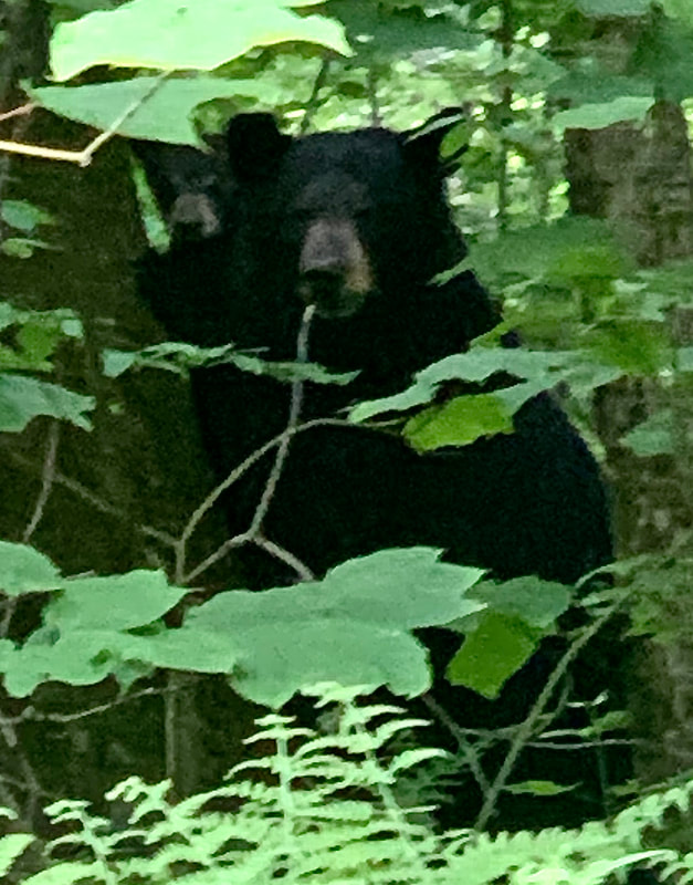
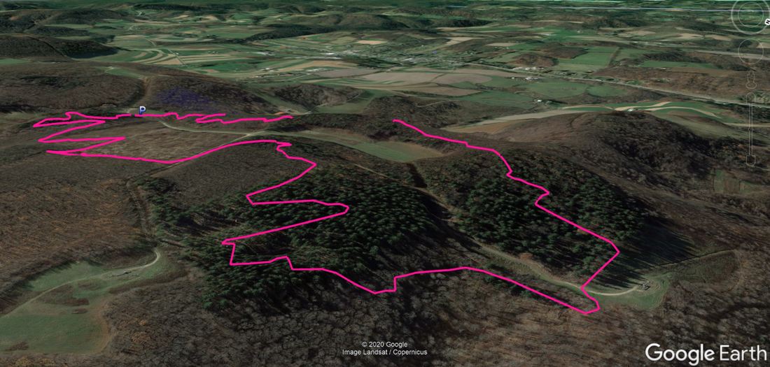
Remediation of the South Loop started in 2022 and will be ongoing as resources allow. The South Loop is marked with orange ribbon and white blazes for now. There is a detour on the southwest side and the trail will not align with most online maps for a short distance. We need your support to complete the extensive mowing and brush cutting, please help us continue to restore this trail system and realize the full potential of an amazing area! Description: This trail features a 2.9 mile loop suitable for hiking families and beginner to expert mountain bikers. You are definitely in black bear country while at Margraff, please learn how to travel respectfully and safely through the area. The trail crosses, or is near to, the gravel road at several points allowing for an easier way back to the parking lot if needed. There are no bathroom facilities at the trail. No water stops are available for pets, so plan your trip accordingly. Bikes traditionally ride clockwise relative to north, but the loop can be accessed from either side of the gravel road at the parking lot. Use: Hiking, Mountain Biking, Equestrian (on roads only), Snowmobiling (on roads only) Difficulty: Moderate to Difficult Directions: 15 minutes, 8.1 miles from Visitor Center Drive; Turn left onto RT 219 5.7 miles, turn right onto Accident-Bittinger Rd 0.9 mile, slight left onto Fratz Rd 0.9 mile, park. Please drive slow through the residential area of Fratz Rd. Get directions to trail head with Google Maps |
|


© Garrett Trails. All rights reserved.