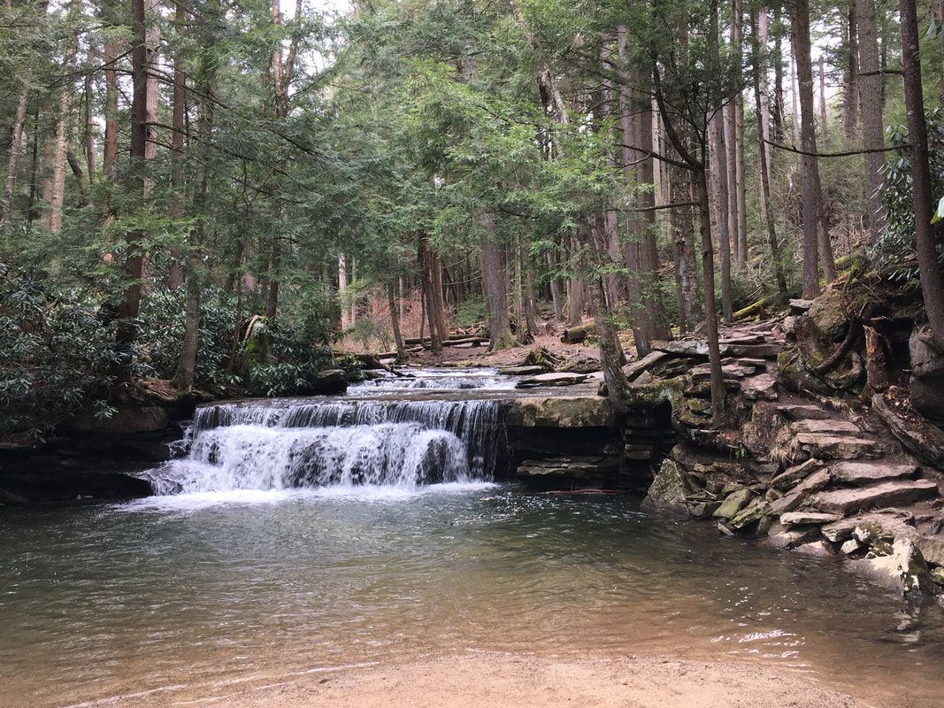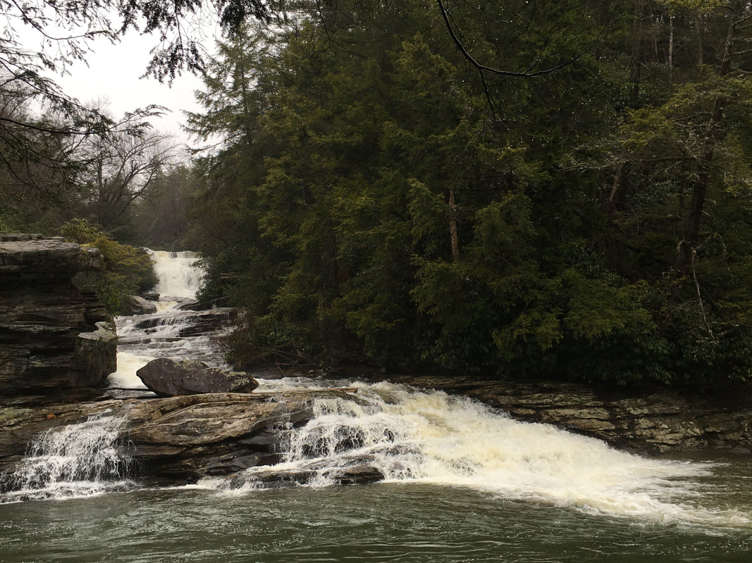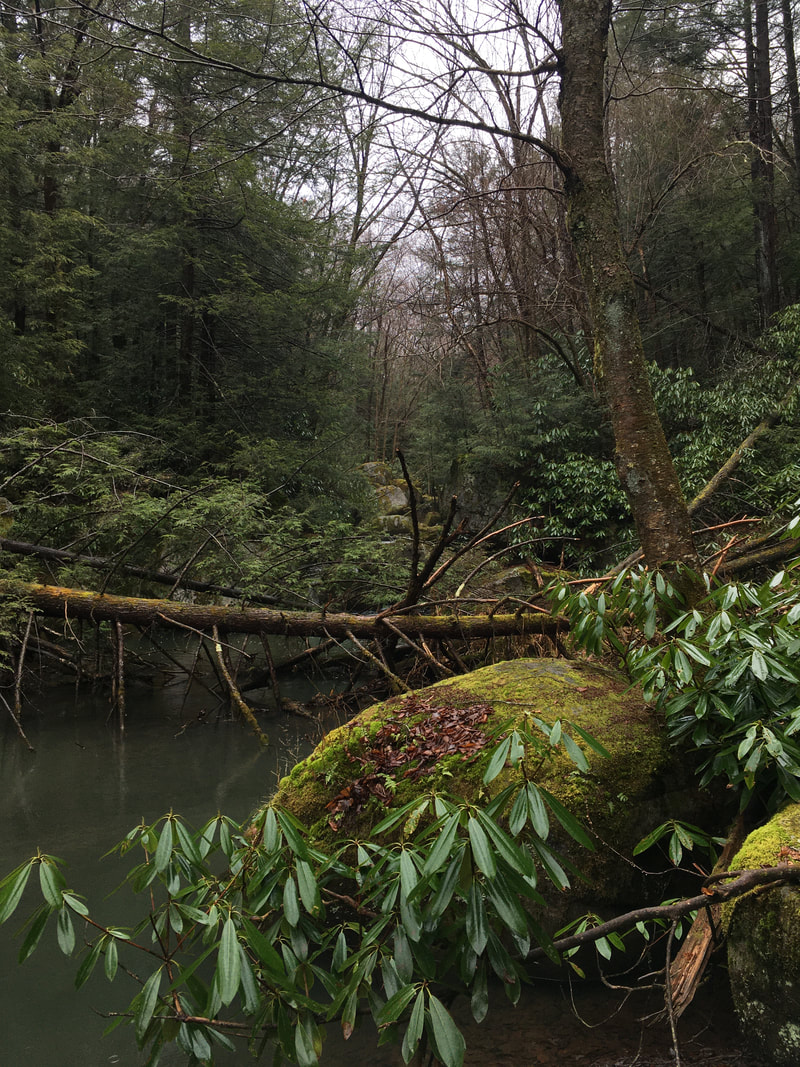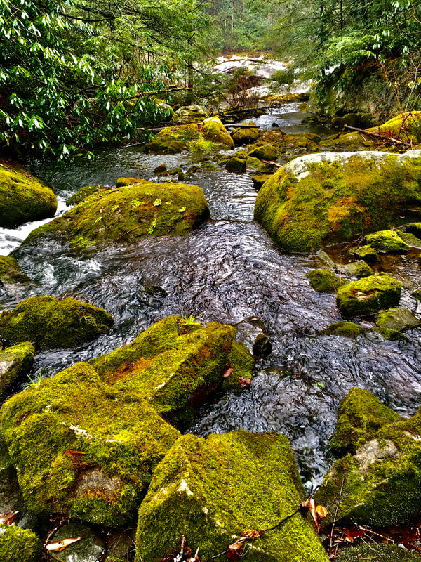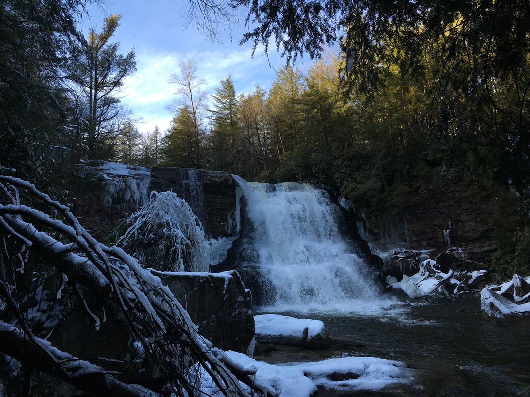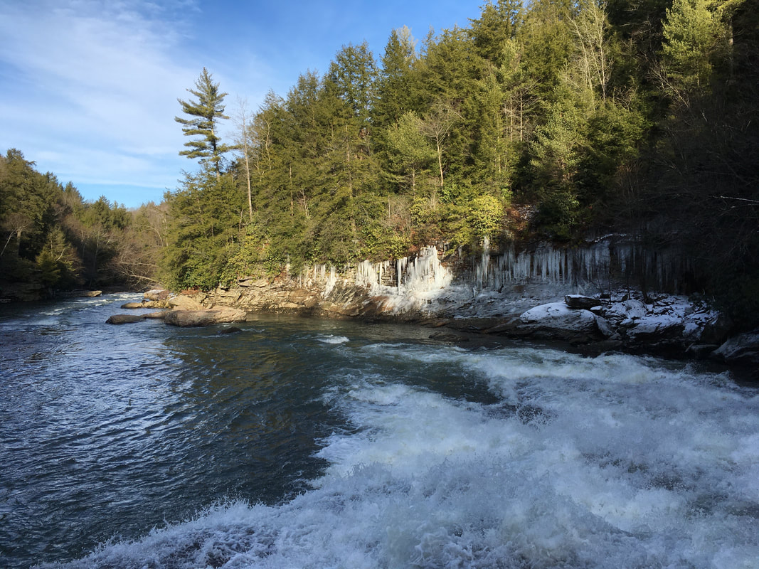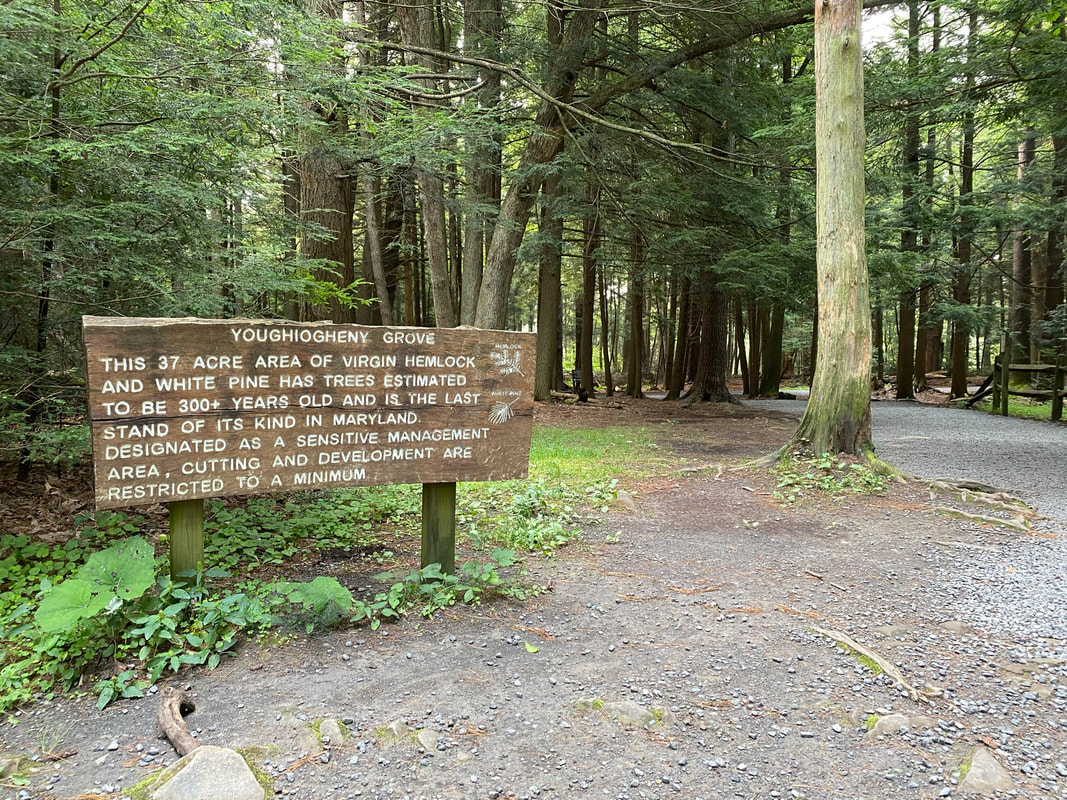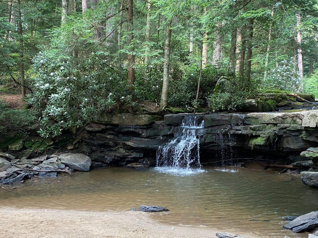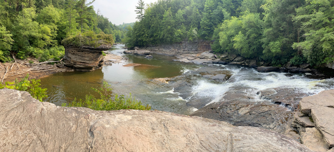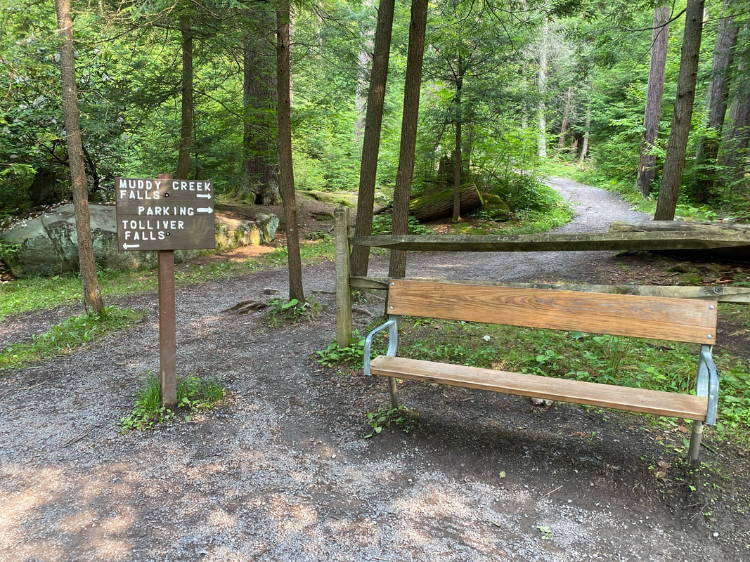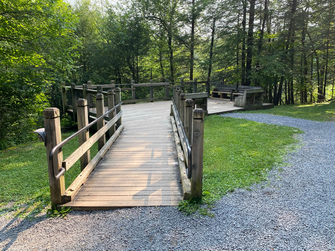
Description: With trails located within the Youghiogheny Wild River Natural Environmental Area, this state park is regarded as having some of the most scenic hikes in the area. The 1.5 mile Canyon Loop Trail takes hikers along Muddy Creek Falls, highest in Maryland, Swallow Tail and scenic Swallow Falls as you travel next to the Youghiogheny River. Frequent rock outcroppings with wild rhododendron and mountain laurel are found along the trail. A handicap accessible trail to Muddy Creek Falls is also available. A side trip to Tolliver Falls offers a quieter side to the often crowded park trails.
Use: Caution: Rocks along river are slippery and the current is swift! Hiking only.
Difficulty: Easy – Moderate (Some Rocky Terrain)
Directions: 23 minutes, 13 miles from Visitor Center Drive; Turn right onto RT-219 S 5.8 miles, turn right onto Mayhew Inn Rd 4.3 miles, slight left onto Oakland-Sang Run Rd 0.3 mile, turn right onto Swallow Falls Rd 1.3 miles, turn right into the state park.
Directions to the park trailhead on Google Maps
Resource Links:
- Maryland DNR – Swallow Falls State Park Homepage
- Maryland DNR Trail Atlas – Swallow Falls Hiking Trail